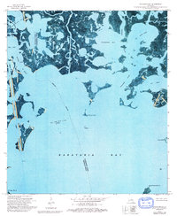
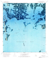
1973 Map of Wilkinson Bay
USGS Topo · Published 1992About this map
The coastal wetlands of the Jefferson and Plaquemines Parish line are captured here in an era of intensive energy extraction and hydraulic engineering. The Manila Village Oil Field and various Oil and Gas Fields dominate the aquatic landscape, marked by numerous Drill Holes and offshore Platforms that sit among the tidal marshes. This orthophotomap provides a literal view of the shifting shoreline, where the Barataria Waterway and the Wilkinson Canal cut through the native hydrologic patterns to facilitate navigation and industry.
Find a feature on this map
24 named features on this map. Tap any name to fly to it.
Don’t see what you’re looking for? This feature index may not catch every label — zoom into the map to look around manually.
Map Details
Editions of this 1973 Wilkinson Bay Map
2 editions found
Other maps of this area

1891 · Pointe a La Hache
USGS Topo · 1:62,500

1892 · Barataria
USGS Topo · 1:62,500

1892 · Creole
USGS Topo · 1:62,500

1892 · Pointe a La Hache
USGS Topo · 1:62,500

1893 · Fort Livingston
USGS Topo · 1:62,500

1935 · Bay Ronquille
USGS Topo · 1:31,680

1935 · Wilkinson Bay
USGS Topo · 1:31,680

1939 · Pointe a La Hache
USGS Topo · 1:62,500

1941 · Barataria
USGS Topo · 1:62,500

1944 · Barataria
USGS Topo · 1:62,500