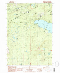
1986 Map of Willamette Pass
USGS Topo · Published 1986About this map
Odell Lake dominates the eastern landscape of this high-altitude survey, serving as a primary focal point for recreation and transportation in the Cascades. The map documents the critical transit corridor through Willamette Pass, where the Pacific Crest National Scenic Trail intersects with the developed Willamette Pass Ski Area. This area represents a meeting point of the Willamette National Forest and Deschutes National Forest, characterized by an incredible density of small alpine lakes such as Diamond View Lake, Yoran Lake, and Marilyn Lake. The presence of Cascade Summit and Pengra Pass highlights the region's importance as a mountain crossing, while the extensive boundaries of the Diamond Peak Wilderness preserve the primitive character of the terrain south of the pass.
Find a feature on this map
54 named features on this map. Tap any name to fly to it.
Don’t see what you’re looking for? This feature index may not catch every label — zoom into the map to look around manually.
Map Details
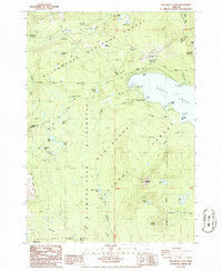
Editions of this 1986 Willamette Pass Map
2 editions found
Other maps of this area

1917 · Diamond Lake
USGS Topo · 1:125,000

1925 · Waldo Lake
USGS Topo · 1:125,000

1930 · Maiden Peak
USGS Topo · 1:125,000

1934 · Maiden Peak
USGS Topo · 1:125,000

1935 · Chemult
USGS Topo · 1:96,000

1941 · Chemult
USGS Topo · 1:125,000

1955 · Crescent
USGS Topo · 1:250,000

1956 · Waldo Lake
USGS Topo · 1:62,500

1956 · Summit Lake
USGS Topo · 1:62,500

1957 · Crescent
USGS Topo · 1:250,000