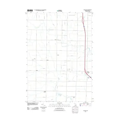
2011 Map of Willard
USGS Topo · Published 2011About this map
Beaver and the surrounding agricultural townships of Bay County are characterized by a dense network of drainage canals and the meandering paths of the Kawkawlin River. This landscape is defined by its grid-based road system, where small settlements like Seidlers and Loehme serve as local anchors. The map reveals a high density of religious and community sites, including Three Churches Corner and the Apostolic Christian Cemetery near the eastern edge.
Find a feature on this map
75 named features on this map. Tap any name to fly to it.
Don’t see what you’re looking for? This feature index may not catch every label — zoom into the map to look around manually.
Map Details
Editions of this 2011 Willard Map
This is the sole edition of this map. No revisions or reprints were ever made.
Other maps of this area

1916 · Bay City
USGS Topo · 1:62,500

1919 · Bay City
USGS Topo · 1:62,500

1943 · Bay City
USGS Topo · 1:62,500

1954 · Midland
USGS Topo · 1:250,000

1954 · Flint
USGS Topo · 1:250,000

1958 · Flint
USGS Topo · 1:250,000

1958 · Midland
USGS Topo · 1:250,000

1959 · Midland
USGS Topo · 1:250,000

1962 · Willard
USGS Topo · 1:24,000

1962 · Midland South
USGS Topo · 1:24,000