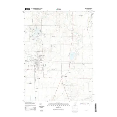
2013 Map of Willard
USGS Topo · Published 2013About this map
The railroad town of Willard serves as a central hub in this Huron County landscape, where the local economy transitions from the municipal grid into the muck-soil agriculture of Celeryville. The map captures the intricate water systems and drainage patterns of the region, including the headwaters of the West Branch Huron River and the engineered expanses of the Willard City Reservoir and Holiday Lake. In the northern reaches, the community of Steuben and the industrial imprint at Phoenix Mills show the historical spread of settlement along local waterways and early road networks.
Find a feature on this map
61 named features on this map. Tap any name to fly to it.
Don’t see what you’re looking for? This feature index may not catch every label — zoom into the map to look around manually.
Map Details
Editions of this 2013 Willard Map
This is the sole edition of this map. No revisions or reprints were ever made.
Other maps of this area

1915 · Norwalk
USGS Topo · 1:62,500

1915 · Siam
USGS Topo · 1:62,500

1915 · Bucyrus
USGS Topo · 1:62,500

1915 · Crestline
USGS Topo · 1:62,500

1943 · Bucyrus
USGS Topo · 1:62,500

1943 · Crestline
USGS Topo · 1:62,500

1944 · Norwalk
USGS Topo · 1:62,500

1950 · Marion
USGS Topo · 1:250,000

1956 · Toledo
USGS Topo · 1:250,000

1960 · Willard
USGS Topo · 1:24,000