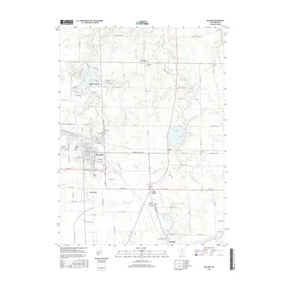
2016 Map of Willard
USGS Topo · Published 2016About this map
Willard sits at the center of this industrial and agricultural landscape in northern Ohio, where the historical footprint of the railroad remains visible at the B & O Railroad Pond. The surrounding Huron County countryside is dotted with small communities like Celeryville, New Haven, and the lakeside development at Holiday Lakes. Genealogists will find a high density of burial sites reflecting the area's diverse settlement history, including the Mennonite Cem, Old Greenwood Cem, and Saint Josephs Cem. To the east, the Willard City Reservoir and various branches of the Huron River, such as the West Branch Huron River, define the local drainage patterns. The map captures a transition from the dense street grid of the city to the expansive fields and scattered farmsteads of the rural townships, including localized landmarks like the Willard Airport.
Find a feature on this map
112 named features on this map. Tap any name to fly to it.
Don’t see what you’re looking for? This feature index may not catch every label — zoom into the map to look around manually.
Map Details
Editions of this 2016 Willard Map
This is the sole edition of this map. No revisions or reprints were ever made.
Other maps of this area

1915 · Norwalk
USGS Topo · 1:62,500

1915 · Siam
USGS Topo · 1:62,500

1915 · Bucyrus
USGS Topo · 1:62,500

1915 · Crestline
USGS Topo · 1:62,500

1943 · Bucyrus
USGS Topo · 1:62,500

1943 · Crestline
USGS Topo · 1:62,500

1944 · Norwalk
USGS Topo · 1:62,500

1950 · Marion
USGS Topo · 1:250,000

1956 · Toledo
USGS Topo · 1:250,000

1960 · Willard
USGS Topo · 1:24,000