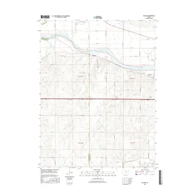
2016 Map of Willard
USGS Topo · Published 2016About this map
The Kansas River winds across the northern half of this Kansas landscape, serving as a natural boundary between Shawnee and Wabaunsee counties. The small settlement of Willard sits just south of the river, while Valencia is positioned further east along the banks. This 2016 survey illustrates a largely rural agricultural grid defined by numerous named roads like Ross Rd and NW Carlson Rd. For those tracing local history, the map identifies the Uniontown Cem near the river and the Valencia Cem to the south. A dense network of drainage creeks, including Cross Creek, Mill Creek, and Vassar Cr, feeds into the river valley, shaping the topography of the surrounding plains and providing vital water sources for the established farmsteads and rural properties shown throughout the townships.
Find a feature on this map
58 named features on this map. Tap any name to fly to it.
Don’t see what you’re looking for? This feature index may not catch every label — zoom into the map to look around manually.
Map Details
Editions of this 2016 Willard Map
This is the sole edition of this map. No revisions or reprints were ever made.
Other maps of this area

1885 · Eskridge
USGS Topo · 1:125,000

1889 · Burlingame
USGS Topo · 1:125,000

1889 · Wamego
USGS Topo · 1:125,000

1889 · Eskridge
USGS Topo · 1:125,000

1889 · Topeka
USGS Topo · 1:125,000

1894 · Eskridge
USGS Topo · 1:125,000

1894 · Burlingame
USGS Topo · 1:125,000

1894 · Topeka
USGS Topo · 1:125,000

1894 · Wamego
USGS Topo · 1:125,000

1947 · Lawrence
USGS Topo · 1:250,000