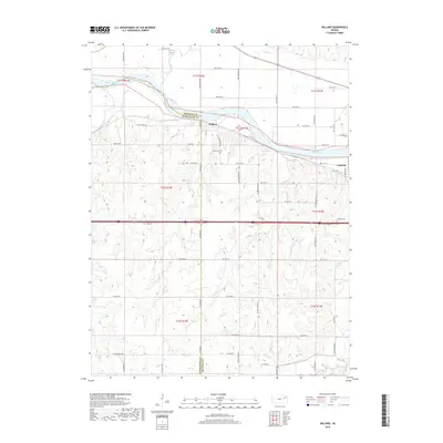
2018 Map of Willard
USGS Topo · Published 2018About this map
The Kansas River winds across the northern landscape of this quadrangle, forming a natural boundary near the community of Willard. The terrain is defined by a dense network of tributaries and creeks, including Mill Creek, Cross Creek, and the southern Mission Creek. This survey illustrates the intricate intersection of land and water at the Shawnee Co Wabaunsee Co line, where small settlements like Valencia are situated amidst the undulating hills of eastern Kansas.
Find a feature on this map
56 named features on this map. Tap any name to fly to it.
Don’t see what you’re looking for? This feature index may not catch every label — zoom into the map to look around manually.
Map Details
Editions of this 2018 Willard Map
This is the sole edition of this map. No revisions or reprints were ever made.
Other maps of this area

1885 · Eskridge
USGS Topo · 1:125,000

1889 · Burlingame
USGS Topo · 1:125,000

1889 · Wamego
USGS Topo · 1:125,000

1889 · Eskridge
USGS Topo · 1:125,000

1889 · Topeka
USGS Topo · 1:125,000

1894 · Eskridge
USGS Topo · 1:125,000

1894 · Burlingame
USGS Topo · 1:125,000

1894 · Topeka
USGS Topo · 1:125,000

1894 · Wamego
USGS Topo · 1:125,000

1947 · Lawrence
USGS Topo · 1:250,000