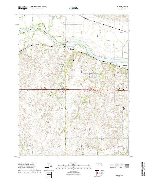
2022 Map of Willard
USGS Topo · Published 2022About this map
The Kansas River winds through the northern portion of this landscape, defining the local topography and the boundary between Shawnee and Wabaunsee counties. Along its banks, the settlement of Willard serves as a focal point for the surrounding rural road network, including Willard Rd and Ross Rd. Further east, the community of Valencia is situated near the river's bend, where local genealogy and history are preserved at the Valencia Cem.
Find a feature on this map
39 named features on this map. Tap any name to fly to it.
Don’t see what you’re looking for? This feature index may not catch every label — zoom into the map to look around manually.
Map Details
Editions of this 2022 Willard Map
This is the sole edition of this map. No revisions or reprints were ever made.
Other maps of this area

1885 · Eskridge
USGS Topo · 1:125,000

1889 · Burlingame
USGS Topo · 1:125,000

1889 · Wamego
USGS Topo · 1:125,000

1889 · Eskridge
USGS Topo · 1:125,000

1889 · Topeka
USGS Topo · 1:125,000

1894 · Eskridge
USGS Topo · 1:125,000

1894 · Burlingame
USGS Topo · 1:125,000

1894 · Topeka
USGS Topo · 1:125,000

1894 · Wamego
USGS Topo · 1:125,000

1947 · Lawrence
USGS Topo · 1:250,000