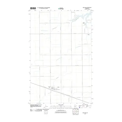
2010 Map of Williams
USGS Topo · Published 2010About this map
Williams serves as the central hub of this northern landscape near the Canadian border, anchored by the Williams Post Office and the intersection of local routes like County Hwy-97. The settlement pattern reflects the area's rural character, with cemeteries such as Hillside Cemetery and Pine Hill Cemetery providing important genealogical anchor points for local families.
Find a feature on this map
42 named features on this map. Tap any name to fly to it.
Don’t see what you’re looking for? This feature index may not catch every label — zoom into the map to look around manually.
Map Details
Editions of this 2010 Williams Map
This is the sole edition of this map. No revisions or reprints were ever made.
Other maps of this area
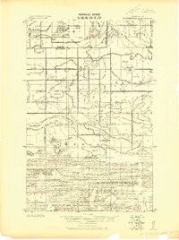
1918 · Winterroad
USGS Topo · 1:62,500
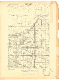
1918 · Roosevelt
USGS Topo · 1:62,500
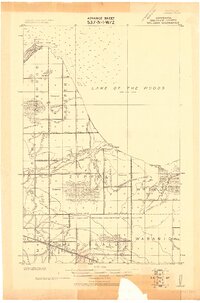
1918 · Williams
USGS Topo · 1:62,500
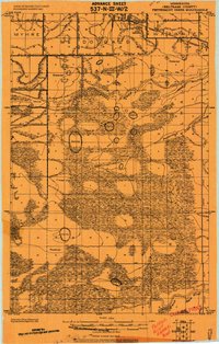
1919 · Peppermint Creek
USGS Topo · 1:62,500
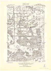
1943 · Peppermint Creek
USGS Topo · 1:62,500
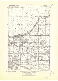
1943 · Roosevelt
USGS Topo · 1:62,500
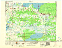
1954 · Roseau
USGS Topo · 1:250,000
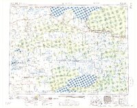
1957 · Roseau
USGS Topo · 1:250,000
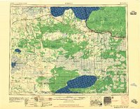
1958 · Roseau
USGS Topo · 1:250,000
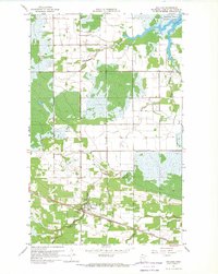
1967 · Williams
USGS Topo · 1:24,000