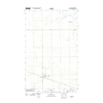
2013 Map of Williams
USGS Topo · Published 2013About this map
Williams serves as the central hub of this northern landscape near the Canadian border, where the terrain is defined by the complex hydrology of the Lake of the Woods watershed. The town's layout is grounded by its local Po and the Lady Slipper Park Rest Area, reflecting its position as a gateway for travelers and sportsmen. To the north, the shoreline of Lake of the Woods is punctuated by the Zippel Bay Resort Campground, illustrating the area's transition into a seasonal recreation economy. The map reveals an extensive drainage network, including County Ditch Number One, which alongside the W Br Zippel Cr and S Br Zippel Cr, indicates a history of managed wetlands and agricultural development. Genealogists can find historical burial sites at Hillside Cem to the east and Pine Hill Cem just north of the village center.
Find a feature on this map
23 named features on this map. Tap any name to fly to it.
Don’t see what you’re looking for? This feature index may not catch every label — zoom into the map to look around manually.
Map Details
Editions of this 2013 Williams Map
This is the sole edition of this map. No revisions or reprints were ever made.
Other maps of this area

1918 · Winterroad
USGS Topo · 1:62,500

1918 · Roosevelt
USGS Topo · 1:62,500

1918 · Williams
USGS Topo · 1:62,500

1919 · Peppermint Creek
USGS Topo · 1:62,500

1943 · Peppermint Creek
USGS Topo · 1:62,500

1943 · Roosevelt
USGS Topo · 1:62,500

1954 · Roseau
USGS Topo · 1:250,000

1957 · Roseau
USGS Topo · 1:250,000

1958 · Roseau
USGS Topo · 1:250,000

1967 · Williams
USGS Topo · 1:24,000