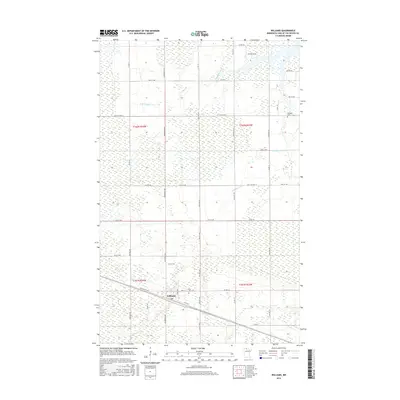
2016 Map of Williams
USGS Topo · Published 2016About this map
Williams serves as the primary hub of this northern landscape, situated at the intersection of Co Rd 97 and Park Ave. The settlement is defined by its grid-aligned streets like Railroad St NW and Pine St, which sit amidst a vast network of wetlands and small tributaries. Water is the dominant geographic feature, with the W Br Zippel Cr and S Br Zippel Cr winding through the northern and central sections, while Williams Cr flows near the southern township boundary. For those researching local history, the map provides precise locations for Hillside Cem in the northeast and Pine Hill Cem near the town center. The road network, including the aptly named Wilderness Ave, reveals a landscape where modern development like Bayview Dr NW meets established agricultural and natural tracts.
Find a feature on this map
44 named features on this map. Tap any name to fly to it.
Don’t see what you’re looking for? This feature index may not catch every label — zoom into the map to look around manually.
Map Details
Editions of this 2016 Williams Map
This is the sole edition of this map. No revisions or reprints were ever made.
Other maps of this area

1918 · Winterroad
USGS Topo · 1:62,500

1918 · Roosevelt
USGS Topo · 1:62,500

1918 · Williams
USGS Topo · 1:62,500

1919 · Peppermint Creek
USGS Topo · 1:62,500

1943 · Peppermint Creek
USGS Topo · 1:62,500

1943 · Roosevelt
USGS Topo · 1:62,500

1954 · Roseau
USGS Topo · 1:250,000

1957 · Roseau
USGS Topo · 1:250,000

1958 · Roseau
USGS Topo · 1:250,000

1967 · Williams
USGS Topo · 1:24,000