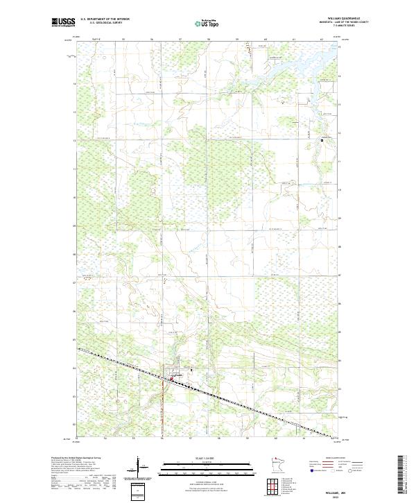
2022 Map of Williams
USGS Topo · Published 2022About this map
Williams serves as the central hub of this northern Minnesota landscape, situated just south of the sprawling wetlands leading toward Zippel Bay. The settlement is defined by its rectilinear street grid, including Park Ave and Pine St, and its historical connection to the transit corridor now marked by Railroad St NW. This 2022 survey captures the transition from the organized town blocks to the vast drainage networks of W Br Zippel Cr and S Br Zippel Cr that feed northward toward the Lake of the Woods. Local history is anchored by the presence of Hillside Cem and Pine Hill Cem, which stand as significant landmarks for genealogical research in this rural borderland. The network of county roads, such as Co St Aid Hwy 8 and Co Hwy 12, illustrates the modern infrastructure supporting the area's timber and agricultural interests.
Find a feature on this map
48 named features on this map. Tap any name to fly to it.
Don’t see what you’re looking for? This feature index may not catch every label — zoom into the map to look around manually.
Map Details
Editions of this 2022 Williams Map
This is the sole edition of this map. No revisions or reprints were ever made.
Other maps of this area

1918 · Winterroad
USGS Topo · 1:62,500

1918 · Roosevelt
USGS Topo · 1:62,500

1918 · Williams
USGS Topo · 1:62,500

1919 · Peppermint Creek
USGS Topo · 1:62,500

1943 · Peppermint Creek
USGS Topo · 1:62,500

1943 · Roosevelt
USGS Topo · 1:62,500

1954 · Roseau
USGS Topo · 1:250,000

1957 · Roseau
USGS Topo · 1:250,000

1958 · Roseau
USGS Topo · 1:250,000

1967 · Williams
USGS Topo · 1:24,000