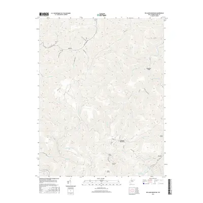
2016 Map of Williams Mountain
USGS Topo · Published 2016About this map
Prenter and Andrew serve as focal points in this Boone County landscape, which is defined by a dense network of mountain hollows and steep creek valleys. The settlement of Williams Mountain sits high among these ridges, while industrial activity is evidenced by the Chesterfield Mine Siltation Pond near Robinson Cr. Genealogists will find a concentration of family burial grounds throughout the terrain, including Williams Cem, Miller Cem, and Jarrells Cem, often located on the slopes above the stream beds. The Daniel Boone Pkwy and Co HWY 12 provide the primary transit through the area, following the winding paths of Drawdy Cr and Sandlick Cr. This topographic study reveals how coal mining and residential settlements have adapted to the narrow valleys of the West Virginia coalfields.
Find a feature on this map
67 named features on this map. Tap any name to fly to it.
Don’t see what you’re looking for? This feature index may not catch every label — zoom into the map to look around manually.
Map Details
Editions of this 2016 Williams Mountain Map
This is the sole edition of this map. No revisions or reprints were ever made.
Other maps of this area

1891 · Oceana
USGS Topo · 1:125,000

1893 · Oceana
USGS Topo · 1:125,000

1898 · Oceana
USGS Topo · 1:125,000

1899 · Charleston
USGS Topo · 1:125,000

1909 · Peytona
USGS Topo · 1:48,000

1910 · Bald Knob
USGS Topo · 1:48,000

1911 · Peytona
USGS Topo · 1:62,500

1911 · Madison
USGS Topo · 1:62,500

1912 · Bald Knob
USGS Topo · 1:62,500

1913 · Logan
USGS Topo · 1:62,500