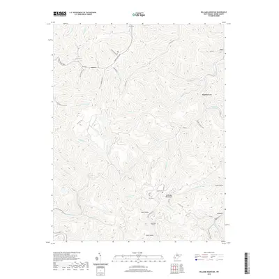
2019 Map of Williams Mountain
USGS Topo · Published 2019About this map
Williams Mountain rises above a landscape defined by the deep hollows and narrow creek beds characteristic of Boone County. The settlement patterns follow the winding paths of the waterways, with Andrew and Prenter serving as local anchors. Family history is etched into the terrain through a series of upland burial sites, including Williams Cem, Jarrells Cem, and the Bias Cem. The transportation network is built upon the topography, where the Daniel Boone Pkwy and Prenter Rd trace the contours of the land. Numerous branches and forks, such as Sandlick Cr and Little Laurel Cr, have shaped the region's development, carving out the namesake hollows like Horse Hollow and Indian Hollow that have historically provided both shelter and resource access for residents.
Find a feature on this map
65 named features on this map. Tap any name to fly to it.
Don’t see what you’re looking for? This feature index may not catch every label — zoom into the map to look around manually.
Map Details
Editions of this 2019 Williams Mountain Map
This is the sole edition of this map. No revisions or reprints were ever made.
Other maps of this area

1891 · Oceana
USGS Topo · 1:125,000

1893 · Oceana
USGS Topo · 1:125,000

1898 · Oceana
USGS Topo · 1:125,000

1899 · Charleston
USGS Topo · 1:125,000

1909 · Peytona
USGS Topo · 1:48,000

1910 · Bald Knob
USGS Topo · 1:48,000

1911 · Peytona
USGS Topo · 1:62,500

1911 · Madison
USGS Topo · 1:62,500

1912 · Bald Knob
USGS Topo · 1:62,500

1913 · Logan
USGS Topo · 1:62,500