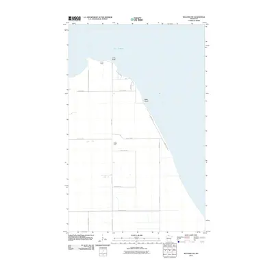
2010 Map of Williams NW
USGS Topo · Published 2010About this map
Lake of Woods dominates the northern reaches of this coastal landscape on the edge of the Canadian border. The shoreline is defined by the prominent geographic feature of Long Point, where the small settlement of Long Point is situated. Further south along the lakefront, the community of Birch Beach sits at the junction of Lakeshore Dr NW and Sandy Shores Dr, serving as a focal point for lakeside residency. Inland, the terrain is organized by a grid of rural roads including County Hwy-2 and County Hwy-52. A notable landmark for navigation and forestry is the Prosper Lookout Tower, positioned centrally within the survey area. The map illustrates a transition from the vast open waters of the lake to a structured network of county highways and residential pockets along the Minnesota shore.
Find a feature on this map
16 named features on this map. Tap any name to fly to it.
Don’t see what you’re looking for? This feature index may not catch every label — zoom into the map to look around manually.
Map Details
Editions of this 2010 Williams NW Map
This is the sole edition of this map. No revisions or reprints were ever made.
Other maps of this area
1918 · Buffalo Bay
USGS Topo · 1:62,500
1918 · Roosevelt
USGS Topo · 1:62,500
1918 · Williams
USGS Topo · 1:62,500
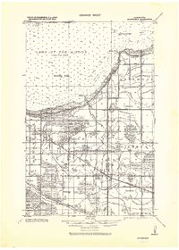
1943 · Roosevelt
USGS Topo · 1:62,500
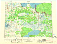
1954 · Roseau
USGS Topo · 1:250,000
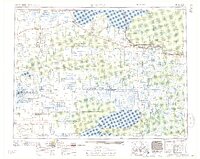
1957 · Roseau
USGS Topo · 1:250,000
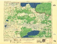
1958 · Roseau
USGS Topo · 1:250,000
1963 · Kenora
USGS Topo · 1:250,000
1967 · Williams
USGS Topo · 1:24,000
1967 · Roosevelt
USGS Topo · 1:24,000