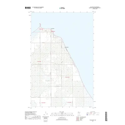
2019 Map of Williams NW
USGS Topo · Published 2019About this map
Long Point and the nearby seasonal community of Birch Beach define the shoreline of Lake of the Woods in this northern Minnesota landscape. This region, characterized by extensive wetlands and low-lying terrain, is accessible via a network of rural routes including Co Rd 352 and Co St Aid Hwy 2. The map illustrates a transition from established resort-related corridors like Resort Ln Nw and Sandy Shores Dr to more utilitarian paths such as a Logging Trl. The grid-like organization of township and range boundaries—specifically t164n r33w and t163n r33w—overlay a landscape where development is closely tied to the water's edge, leaving much of the interior as undeveloped marshland or forest typical of Lake of the Woods County.
Find a feature on this map
30 named features on this map. Tap any name to fly to it.
Don’t see what you’re looking for? This feature index may not catch every label — zoom into the map to look around manually.
Map Details
Editions of this 2019 Williams NW Map
This is the sole edition of this map. No revisions or reprints were ever made.
Other maps of this area

1918 · Buffalo Bay
USGS Topo · 1:62,500

1918 · Roosevelt
USGS Topo · 1:62,500

1918 · Williams
USGS Topo · 1:62,500

1943 · Roosevelt
USGS Topo · 1:62,500

1954 · Roseau
USGS Topo · 1:250,000

1957 · Roseau
USGS Topo · 1:250,000

1958 · Roseau
USGS Topo · 1:250,000

1963 · Kenora
USGS Topo · 1:250,000

1967 · Williams
USGS Topo · 1:24,000
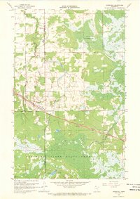
1967 · Roosevelt
USGS Topo · 1:24,000