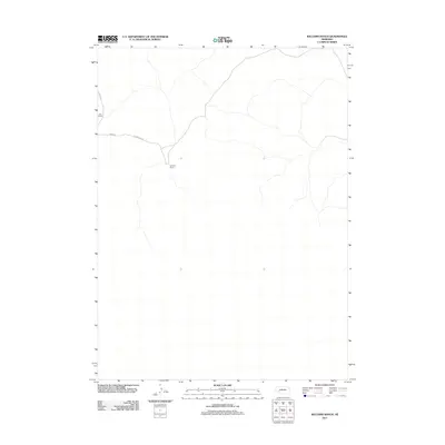
2011 Map of Williams Ranch
USGS Topo · Published 2011About this map
Williams Ranch and Orr Ranch define the settlement pattern of this western Nebraska landscape, where large-scale ranching operations are the primary landmarks. The map illustrates a high degree of isolation in Arthur County, with only a few named roads such as Road 215 and Road 66 connecting these remote outposts. The junction of Road 66 and Lewellen Rd serves as the central transit point for the area. This survey provides a precise record of these family-named landholdings and the sparse network of unpaved roads and trails that traverse the open terrain, offering a clear view of the rural ranching infrastructure in the early twenty-first century.
Find a feature on this map
5 named features on this map. Tap any name to fly to it.
Don’t see what you’re looking for? This feature index may not catch every label — zoom into the map to look around manually.
Map Details
Editions of this 2011 Williams Ranch Map
This is the sole edition of this map. No revisions or reprints were ever made.
Other maps of this area

1897 · Ogallala
USGS Topo · 1:125,000

1900 · Chappell
USGS Topo · 1:125,000

1900 · Ogallala
USGS Topo · 1:125,000

1949 · Rackett
USGS Topo · 1:62,500

1950 · Velma
USGS Topo · 1:62,500

1951 · Rackett
USGS Topo · 1:62,500

1954 · Scottsbluff
USGS Topo · 1:250,000

1954 · North Platte
USGS Topo · 1:250,000

1956 · North Platte
USGS Topo · 1:250,000

1957 · North Platte
USGS Topo · 1:250,000