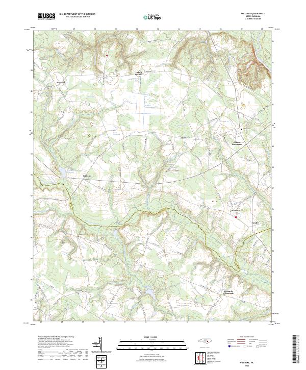
2022 Map of Williams
USGS Topo · Published 2022About this map
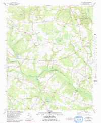
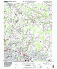
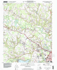
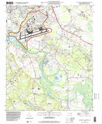
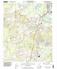
Indian Springs and Hopewell anchor the northern reaches of this landscape, where the Neuse River cuts across the extreme northeastern corner. The terrain is defined by a dense network of blackwater branches and wetlands, most notably the Horsepen Pocosin and the curious Devils Woodyard. These low-lying areas feed into the Northeast Cape Fear River, which snakes across the center of the sheet, forming the natural boundary between Wayne and Duplin counties.
Find a feature on this map
96 named features on this map. Tap any name to fly to it.
Don’t see what you’re looking for? This feature index may not catch every label — zoom into the map to look around manually.
Map Details
Editions of this 2022 Williams Map
This is the sole edition of this map. No revisions or reprints were ever made.
Historical Maps of Wayne County Through Time
18 maps found
1974 Grantham
Wayne County, NC
1974 Northwest Goldsboro
Wayne County, NC
1974 Southwest Goldsboro
Wayne County, NC
1978 Kenly East
Wayne County, NC
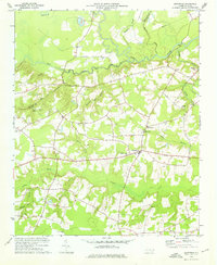
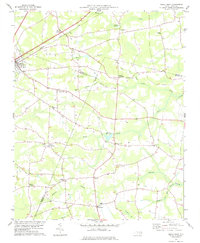
1980 Williams
Wayne County, NC
1982 Southeast Goldsboro
Wayne County, NC
1983 Northeast Goldsboro
Wayne County, NC
1998 Northeast Goldsboro
Wayne County, NC
1998 Northwest Goldsboro
Wayne County, NC
1998 Southeast Goldsboro
Wayne County, NC
1998 Southwest Goldsboro
Wayne County, NC
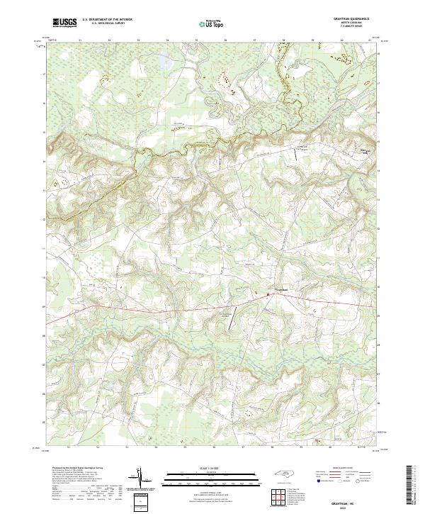
2022 Grantham
Wayne County, NC
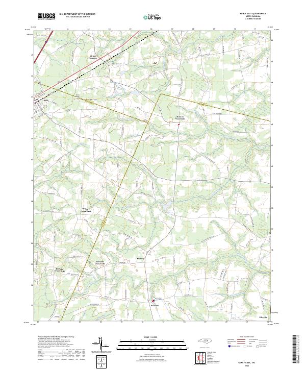
2022 Kenly East
Wayne County, NC
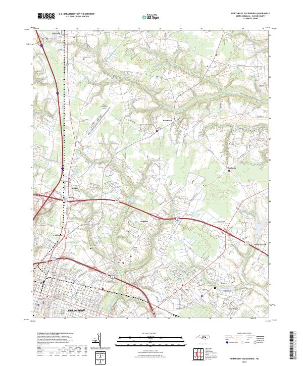
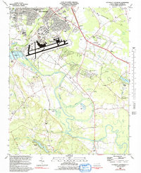
2022 Northeast Goldsboro
Wayne County, NC
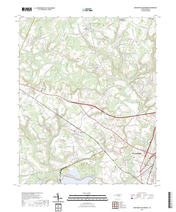
2022 Northwest Goldsboro
Wayne County, NC
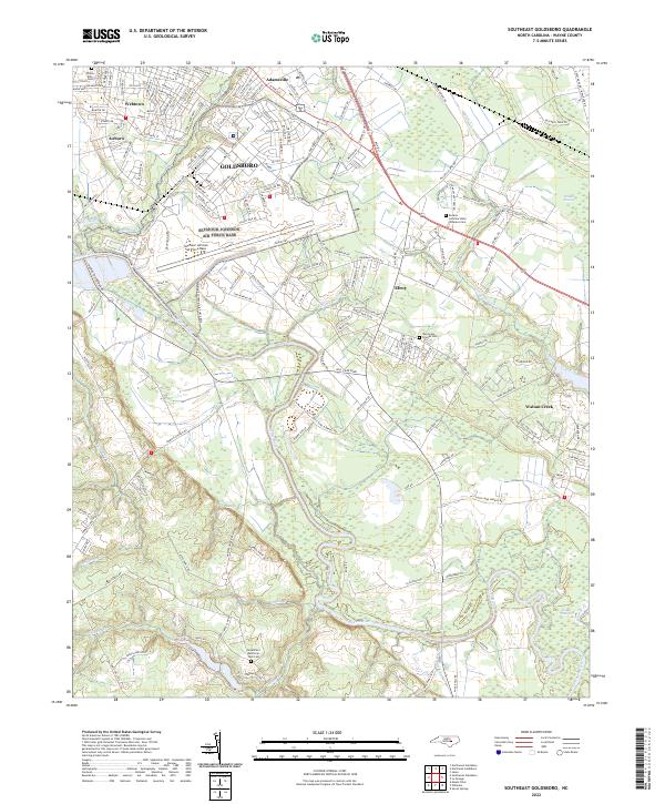
2022 Southeast Goldsboro
Wayne County, NC
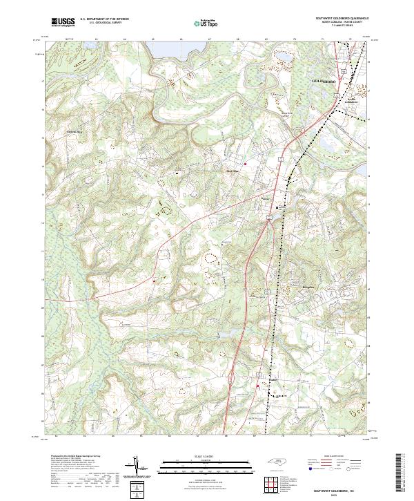
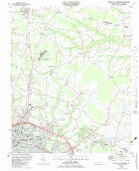
2022 Southwest Goldsboro
Wayne County, NC
2022 Williams
Wayne County, NC