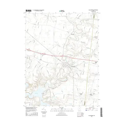
2016 Map of Williamsburg
USGS Topo · Published 2016About this map
The East Fork Little Miami River winds through this section of Clermont and Brown counties, anchoring a landscape defined by historic mill sites and small rural settlements. In the center, Williamsburg serves as the primary hub, where local history is recorded at Williamsburg Cem near the banks of the river. The surrounding countryside is dotted with long-established communities like Blowville, Afton, and New Harmony, each with its own local burial grounds such as Concord Cem.
Find a feature on this map
127 named features on this map. Tap any name to fly to it.
Don’t see what you’re looking for? This feature index may not catch every label — zoom into the map to look around manually.
Map Details
Editions of this 2016 Williamsburg Map
This is the sole edition of this map. No revisions or reprints were ever made.
Other maps of this area

1914 · Batavia
USGS Topo · 1:48,000

1916 · Batavia
USGS Topo · 1:62,500

1917 · Sardinia
USGS Topo · 1:62,500

1928 · Higginsport
USGS Topo · 1:48,000

1931 · Felicity
USGS Topo · 1:62,500

1931 · Higginsport
USGS Topo · 1:62,500

1944 · Sardinia
USGS Topo · 1:62,500

1947 · Columbus
USGS Topo · 1:250,000

1953 · Laurel
USGS Topo · 1:24,000

1953 · Bethel
USGS Topo · 1:24,000