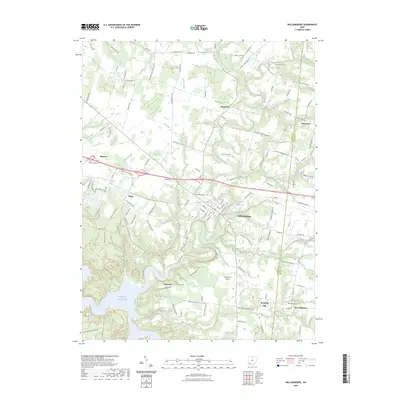
2023 Map of Williamsburg
USGS Topo · Published 2023About this map
The East Fork Little Miami River defines the central topography of this Clermont County region, winding its way toward the expansive William H Harsha Lake in the southwest. The landscape is a mix of established village centers like Williamsburg and small, rural crossroads such as Blowville and Crosstown. Significant water features, including Dela Pama Fishing Lake and Lake O' the Woods, punctuate the terrain alongside numerous named runs and creeks like Todd Run and Kain Run.
Find a feature on this map
138 named features on this map. Tap any name to fly to it.
Don’t see what you’re looking for? This feature index may not catch every label — zoom into the map to look around manually.
Map Details
Editions of this 2023 Williamsburg Map
This is the sole edition of this map. No revisions or reprints were ever made.
Other maps of this area

1914 · Batavia
USGS Topo · 1:48,000

1916 · Batavia
USGS Topo · 1:62,500

1917 · Sardinia
USGS Topo · 1:62,500

1928 · Higginsport
USGS Topo · 1:48,000

1931 · Felicity
USGS Topo · 1:62,500

1931 · Higginsport
USGS Topo · 1:62,500

1944 · Sardinia
USGS Topo · 1:62,500

1947 · Columbus
USGS Topo · 1:250,000

1953 · Laurel
USGS Topo · 1:24,000

1953 · Bethel
USGS Topo · 1:24,000