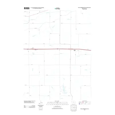
2013 Map of Williamsburg NW
USGS Topo · Published 2013About this map
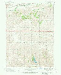
Genoa Bluff serves as a central point of reference in this section of Iowa County, where the agricultural grid is intersected by the modern corridor of Interstate 80. The landscape is defined by a dense network of waterways, including the winding paths of Big Bear Cr and Little Bear Cr in the north, and Old Mans Cr further south. These drainages reveal the natural undulations of the terrain that dictated early road placement, such as the diagonal route of A Diagonal.
Find a feature on this map
33 named features on this map. Tap any name to fly to it.
Don’t see what you’re looking for? This feature index may not catch every label — zoom into the map to look around manually.
Map Details
Editions of this 2013 Williamsburg NW Map
This is the sole edition of this map. No revisions or reprints were ever made.
Other maps of this area

1954 · Des Moines
USGS Topo · 1:250,000

1956 · Des Moines
USGS Topo · 1:250,000

1957 · Des Moines
USGS Topo · 1:250,000

1965 · Ladora
USGS Topo · 1:24,000
1965 · Marengo
USGS Topo · 1:24,000

1968 · Deep River
USGS Topo · 1:24,000
1968 · North English
USGS Topo · 1:24,000
1968 · Williamsburg
USGS Topo · 1:24,000

1968 · Victor
USGS Topo · 1:24,000
1968 · Williamsburg NW
USGS Topo · 1:24,000