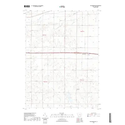
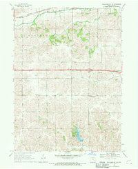
2018 Map of Williamsburg NW
USGS Topo · Published 2018About this map
Genoa Bluff sits at the center of this Iowa County landscape, where the terrain is defined by a dense network of meandering waterways. The drainage pattern is complex, with Big Bear Creek and Little Bear Cr carving through the northern sections, while Old Mans Cr and Deep Cr dominate the central plains. This 2018 survey reveals a rural structure maintained by a strict grid of county roads, including Co Hwy F46 and Co Rd F39, which connect isolated homesteads and religious sites.
Find a feature on this map
31 named features on this map. Tap any name to fly to it.
Don’t see what you’re looking for? This feature index may not catch every label — zoom into the map to look around manually.
Map Details
Editions of this 2018 Williamsburg NW Map
This is the sole edition of this map. No revisions or reprints were ever made.
Other maps of this area

1954 · Des Moines
USGS Topo · 1:250,000

1956 · Des Moines
USGS Topo · 1:250,000

1957 · Des Moines
USGS Topo · 1:250,000

1965 · Ladora
USGS Topo · 1:24,000
1965 · Marengo
USGS Topo · 1:24,000

1968 · Deep River
USGS Topo · 1:24,000
1968 · North English
USGS Topo · 1:24,000
1968 · Williamsburg
USGS Topo · 1:24,000

1968 · Victor
USGS Topo · 1:24,000
1968 · Williamsburg NW
USGS Topo · 1:24,000