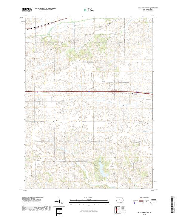
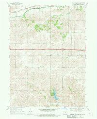
2022 Map of Williamsburg NW
USGS Topo · Published 2022About this map
Genoa Bluff and the surrounding agricultural landscape of Iowa County dominate this modern topographic survey. The area is defined by a dense network of creek systems including Big Bear Creek, Little Bear Cr, and Old Mans Cr, which carve through the terrain between established township boundaries like t80n r12w and t79n r11w. Local history and genealogy are anchored by several notable burial sites and rural landmarks, such as Ladora Cem in the north and the Zion Reformed Church Cem located further south near Pig Cr. The presence of Lake Iowa provides a significant recreational water body in the southern portion of the quadrangle. Transport patterns follow a traditional Midwestern grid, with rural routes like Co HWY f46 and 240th ST connecting scattered farmsteads and historic family plots like Smith Cem.
Find a feature on this map
30 named features on this map. Tap any name to fly to it.
Don’t see what you’re looking for? This feature index may not catch every label — zoom into the map to look around manually.
Map Details
Editions of this 2022 Williamsburg NW Map
This is the sole edition of this map. No revisions or reprints were ever made.
Other maps of this area

1954 · Des Moines
USGS Topo · 1:250,000

1956 · Des Moines
USGS Topo · 1:250,000

1957 · Des Moines
USGS Topo · 1:250,000

1965 · Ladora
USGS Topo · 1:24,000
1965 · Marengo
USGS Topo · 1:24,000

1968 · Deep River
USGS Topo · 1:24,000
1968 · North English
USGS Topo · 1:24,000
1968 · Williamsburg
USGS Topo · 1:24,000

1968 · Victor
USGS Topo · 1:24,000
1968 · Williamsburg NW
USGS Topo · 1:24,000