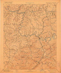
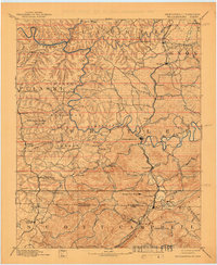
1894 Map of Williamsburg
USGS Topo · Published 1921About this map
Williamsburg serves as a central hub in this late 19th-century survey of the rugged plateau straddling the Kentucky Tennessee Boundary Line. The landscape is defined by the winding course of the Cumberland River and the industrial activity of the regional coalfields. Mining operations like Beaver Mines, Barren Fork Coal Mine, and the Kensee Coal Mine near the southern border reflect the era's reliance on mineral extraction, supported by a growing rail network including the Southern R. R. and the L. & N. R. R..
Find a feature on this map
86 named features on this map. Tap any name to fly to it.
Don’t see what you’re looking for? This feature index may not catch every label — zoom into the map to look around manually.
Map Details
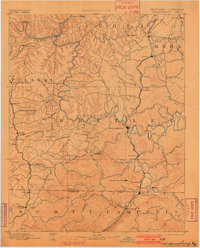
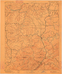
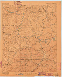
Editions of this 1894 Williamsburg Map
5 editions found

Historical Maps of Corbin Through Time
9 maps found
1890 Williamsburg
Whitley County, KY
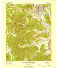
1894 Williamsburg
Whitley County, KY
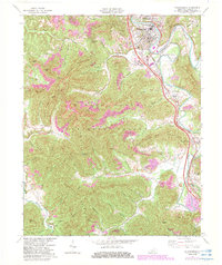
1952 Williamsburg
Whitley County, KY
1969 Williamsburg
Whitley County, KY
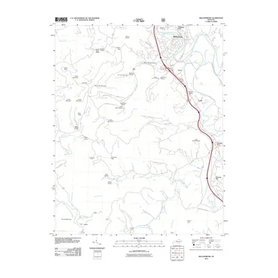
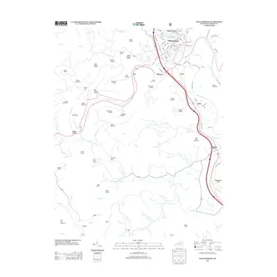
2010 Williamsburg
Whitley County, KY
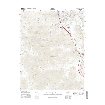
2013 Williamsburg
Whitley County, KY
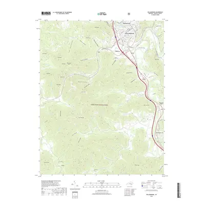
2016 Williamsburg
Whitley County, KY
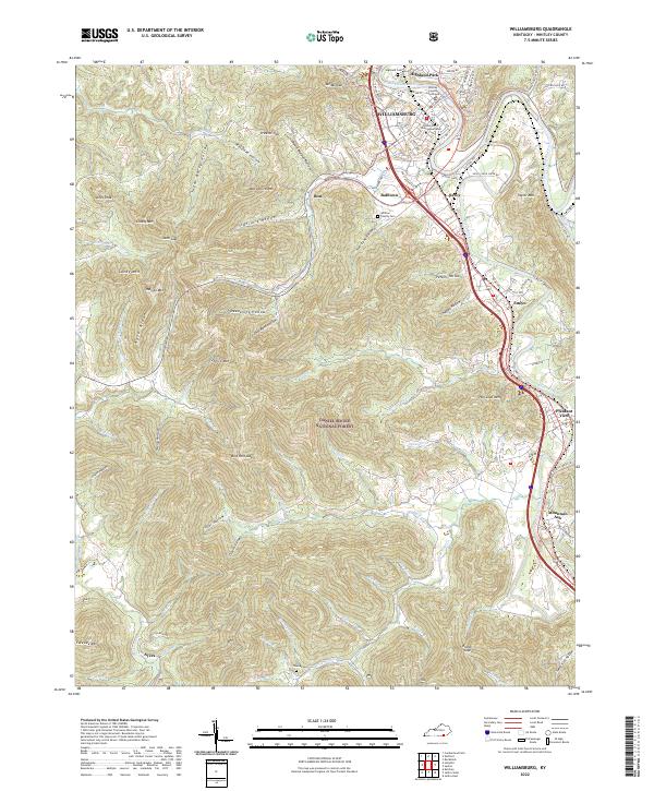
2019 Williamsburg
Whitley County, KY
2022 Williamsburg
Whitley County, KY