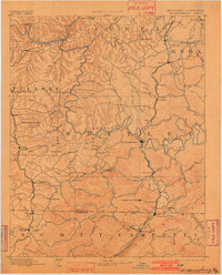
1894 Map of Williamsburg
USGS Topo · Published 1902About this map
The Cumberland River carves a deep, winding path through this late 19th-century survey of Whitley County and its neighbors. The local economy is clearly defined by coal and timber, evidenced by the Kensee Coal Mine and Barren Fork Coal Mine, alongside industrial sites like Bartons Mill and Steels Mill. The county seat of Williamsburg serves as a central hub, while the arrival of the Southern and Cincinnati railroads established vital transport links for these resources.
Find a feature on this map
114 named features on this map. Tap any name to fly to it.
Don’t see what you’re looking for? This feature index may not catch every label — zoom into the map to look around manually.
Map Details
Editions of this 1894 Williamsburg Map
5 editions found
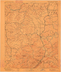
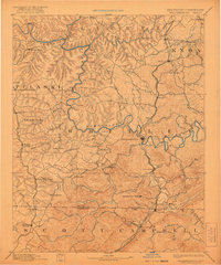
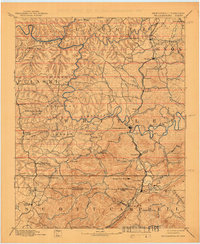
Other maps of this area

1886 · Cumberland Gap
USGS Topo · 1:125,000

1888 · Cumberland Gap
USGS Topo · 1:125,000

1890 · Williamsburg
USGS Topo · 1:125,000

1891 · Manchester
USGS Topo · 1:125,000

1891 · Cumberland Gap
USGS Topo · 1:125,000

1893 · London
USGS Topo · 1:125,000

1893 · Briceville
USGS Topo · 1:125,000

1894 · Williamsburg
USGS Topo · 1:125,000

1895 · Wartburg
USGS Topo · 1:125,000

1895 · Briceville
USGS Topo · 1:125,000