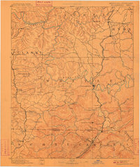
1894 Map of Williamsburg
USGS Topo · Published 1910About this map
The Cumberland River and Rockcastle River carve through the center of this late 19th-century survey, defining a landscape dominated by the early coal industry and mountain rail corridors. This reconnaissance edition captures the development of the Cumberland Plateau before the modernization of the early 20th century, highlighting industrial landmarks like Beaver Mines and the Barren Fork Coal Mine. The region's transition into a vital transport hub is evident in the presence of the Louisville and Nashville RR and the Cincinnati Southern RR, which connected isolated mountain settlements to broader markets.
Find a feature on this map
108 named features on this map. Tap any name to fly to it.
Don’t see what you’re looking for? This feature index may not catch every label — zoom into the map to look around manually.
Map Details
Editions of this 1894 Williamsburg Map
5 editions found
Other maps of this area

1886 · Cumberland Gap
USGS Topo · 1:125,000

1888 · Cumberland Gap
USGS Topo · 1:125,000

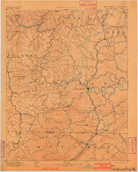
1890 · Williamsburg
USGS Topo · 1:125,000

1891 · Manchester
USGS Topo · 1:125,000

1891 · Cumberland Gap
USGS Topo · 1:125,000

1893 · London
USGS Topo · 1:125,000

1893 · Briceville
USGS Topo · 1:125,000

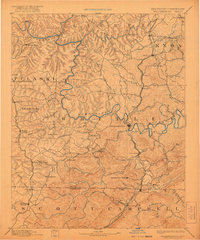
1894 · Williamsburg
USGS Topo · 1:125,000

1895 · Wartburg
USGS Topo · 1:125,000

1895 · Briceville
USGS Topo · 1:125,000