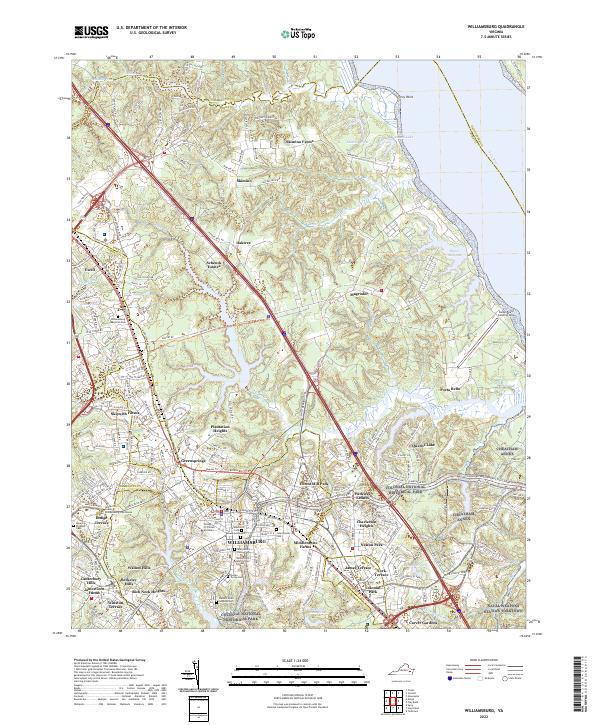
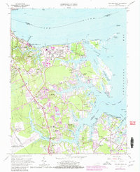
2022 Map of Williamsburg
USGS Topo · Published 2022About this map
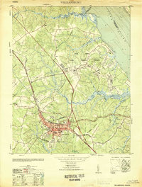
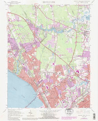
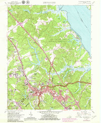
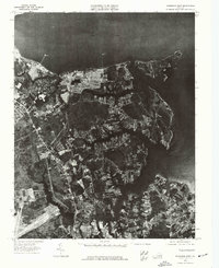
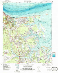
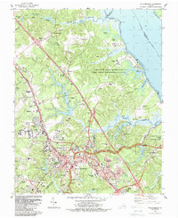
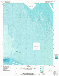
Williamsburg and its historic core are the focal point of this survey, where the sprawling campus of the College of William and Mary and the William and Mary School of Law anchor the city center. The landscape is a complex mosaic of suburban development and military reservations, defined by the proximity of the Naval Weapons Station Yorktown and the Cheatham Annex along the York River. Residential neighborhoods such as Walnut Hills, Greensprings, and Skipwith Farms reflect the late-century growth patterns between the historical landmarks. Significant protected acreage is visible within the Colonial National Historical Park, preserving the wooded corridors that separate the urbanized areas. Several family and institutional burial grounds, including the Galt Family Cem, Cedar Grove Cem, and Eastern State Hospital Cem, offer precise locations for genealogical research. Water features like Queens Lake and Queen Creek dominate the eastern drainage toward the river, while smaller ponds like Powell Lake and Bigler Millpond dot the northern reaches near Skimino Farms.
Find a feature on this map
193 named features on this map. Tap any name to fly to it.
Don’t see what you’re looking for? This feature index may not catch every label — zoom into the map to look around manually.
Map Details
Editions of this 2022 Williamsburg Map
This is the sole edition of this map. No revisions or reprints were ever made.
Historical Maps of Ewell Through Time
26 maps found
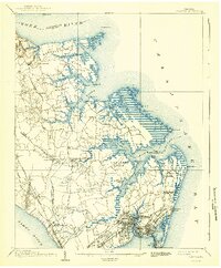
1907 Hampton
York County, VA
1944 Harris Grove
York County, VA
1944 Messick
York County, VA
1944 Morrison
York County, VA
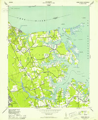
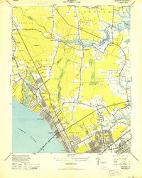
1951 Williamsburg
York County, VA
1952 Williamsburg
York County, VA
1955 Harris Grove
York County, VA
1955 Messick
York County, VA
1955 Morrison
York County, VA
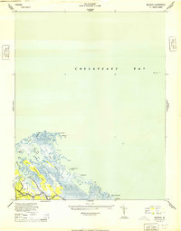
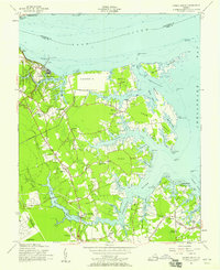
1964 Poquoson East
York County, VA
1965 Newport News North
York County, VA
1965 Poquoson West
York County, VA
1965 Williamsburg
York County, VA
1973 Newport News North
York County, VA
1973 Poquoson East
York County, VA
1973 Poquoson West
York County, VA
1983 Poquoson West
York County, VA
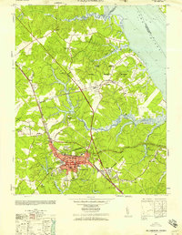
1984 Williamsburg
York County, VA
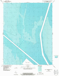
1986 East of Hampton
York County, VA
1986 East of Poquoson East
York County, VA
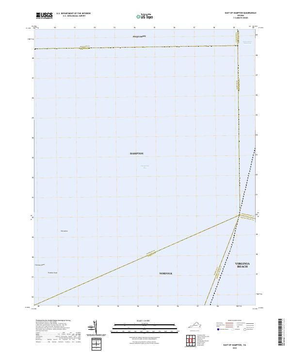
2022 East of Hampton
York County, VA
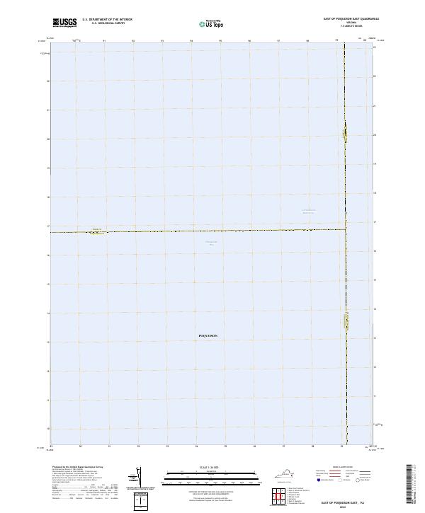
2022 East of Poquoson East
York County, VA
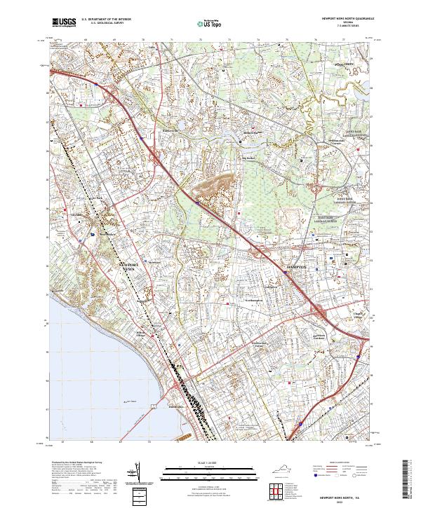
2022 Newport News North
York County, VA
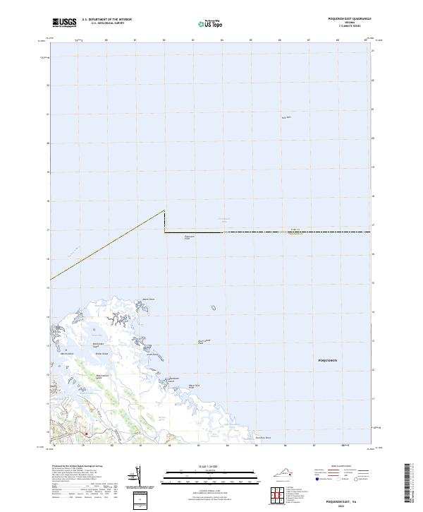
2022 Poquoson East
York County, VA
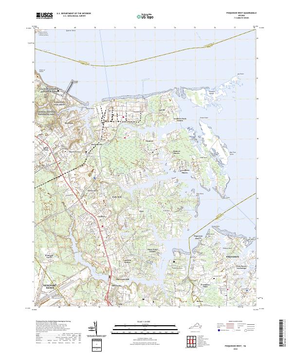
2022 Poquoson West
York County, VA
2022 Williamsburg
York County, VA