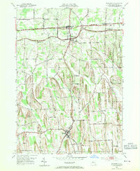
1952 Map of Williamson
USGS Topo · Published 1953About this map
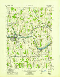
Fruit-growing country and glacial drumlins define the landscape of Wayne County in the early 1950s. The northern corridor is anchored by Williamson and East Williamson, both closely tied to the New York Central railroad and the historic east-west route of Ridge Road. This area shows a high density of orchards and farmsteads, while the southern portion transitions toward the village of Marion and the Pennsylvania rail line.
Find a feature on this map
48 named features on this map. Tap any name to fly to it.
Don’t see what you’re looking for? This feature index may not catch every label — zoom into the map to look around manually.
Map Details
Editions of this 1952 Williamson Map
3 editions found
Other maps of this area

1899 · Palmyra
USGS Topo · 1:62,500

1900 · Macedon
USGS Topo · 1:62,500

1902 · Pultneyville
USGS Topo · 1:62,500

1902 · Palmyra
USGS Topo · 1:62,500

1942 · Ontario
USGS Topo · 1:31,680

1942 · Pultneyville
USGS Topo · 1:31,680

1943 · Williamson
USGS Topo · 1:31,680

1943 · Sodus
USGS Topo · 1:31,680
1943 · Newark
USGS Topo · 1:31,680
1943 · Palmyra
USGS Topo · 1:31,680