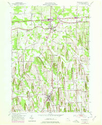
1952 Map of Williamson
USGS Topo · Published 1978About this map
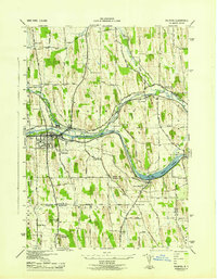
The agricultural landscape of Wayne County is defined by the unique glacial drumlins and drumlinoid ridges that stretch north-to-south between Williamson and Marion. These distinctive landforms, such as Prospect Hill, Pigeon Hill, and Beam Hill, dictate the winding paths of rural roads like Pigeon Hill Road and Farnsworth Road that navigate the lowlands. The survey documents a mid-century infrastructure supporting local industry and transport, featuring the Penn Central railroad corridor and the Williamson-Sodus Airport near East Williamson. Genealogy and local history researchers can identify several small, concentrated settlements including Owls Nest, Upper Corners, and Cory Corners, along with local burial grounds like Ridge Chapel Cem and Hall Center Cem. The drainage pattern is led by the northward flow of Salmon Creek, Bear Creek, and Mink Creek toward Lake Ontario, illustrating the hydrologic character of this fruit-growing region during the 1950s.
Find a feature on this map
67 named features on this map. Tap any name to fly to it.
Don’t see what you’re looking for? This feature index may not catch every label — zoom into the map to look around manually.
Map Details
Editions of this 1952 Williamson Map
3 editions found
Other maps of this area

1899 · Palmyra
USGS Topo · 1:62,500

1900 · Macedon
USGS Topo · 1:62,500

1902 · Pultneyville
USGS Topo · 1:62,500

1902 · Palmyra
USGS Topo · 1:62,500

1942 · Ontario
USGS Topo · 1:31,680

1942 · Pultneyville
USGS Topo · 1:31,680

1943 · Williamson
USGS Topo · 1:31,680

1943 · Sodus
USGS Topo · 1:31,680
1943 · Newark
USGS Topo · 1:31,680
1943 · Palmyra
USGS Topo · 1:31,680