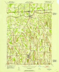
1952 Map of Williamson
USGS Topo · Published 1970About this map
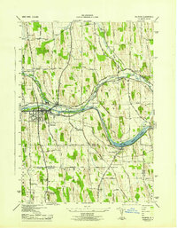
The agricultural and industrial landscape of Wayne County is defined here by the east-west corridors of the New York Central railroad and Ridge Road. This 1952 topographic study shows the concentrated settlement at Williamson and East Williamson, which served as hubs for the surrounding fruit and vegetable farms. The southern portion of the map transitions into the township of Marion, where the Pennsylvania rail line cuts through a series of north-south drumlins. These glacial hills, such as Pigeon Hill and Prospect Hill, dictated the winding paths of local thoroughfares like Ball Road and Eddy Road. Genealogists will find numerous rural burial sites preserved on this sheet, including the Ridge Chapel Cem and the Upper Corners Cem near the village of Marion. Small rural clusters like Cory Corners and the curiously named Owls Nest offer a look at localized communities before post-war suburban development altered the region's character.
Find a feature on this map
40 named features on this map. Tap any name to fly to it.
Don’t see what you’re looking for? This feature index may not catch every label — zoom into the map to look around manually.
Map Details
Editions of this 1952 Williamson Map
3 editions found
Other maps of this area

1899 · Palmyra
USGS Topo · 1:62,500

1900 · Macedon
USGS Topo · 1:62,500

1902 · Pultneyville
USGS Topo · 1:62,500

1902 · Palmyra
USGS Topo · 1:62,500

1942 · Ontario
USGS Topo · 1:31,680

1942 · Pultneyville
USGS Topo · 1:31,680

1943 · Williamson
USGS Topo · 1:31,680

1943 · Sodus
USGS Topo · 1:31,680
1943 · Newark
USGS Topo · 1:31,680
1943 · Palmyra
USGS Topo · 1:31,680