2023 Map of Williamsport
USGS Topo · Published 2023About this map
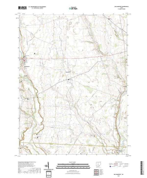
Williamsport sits at the western edge of this agricultural landscape, where Deer Creek and Deep Creek converge. The terrain is defined by the sweeping Pickaway Plains and a dense network of family-held lands, evidenced by a high concentration of private burial grounds such as Hulse Farm Cem, Dungan Farm Cem, and Peck Farm Cem. These sites, alongside larger community plots like Springlawn Cem, offer a rich spatial record for genealogists tracing early settlement patterns in this part of Pickaway and Ross counties.
Find a feature on this map
63 named features on this map. Tap any name to fly to it.
Don’t see what you’re looking for? This feature index may not catch every label — zoom into the map to look around manually.
Map Details
Editions of this 2023 Williamsport Map
This is the sole edition of this map. No revisions or reprints were ever made.