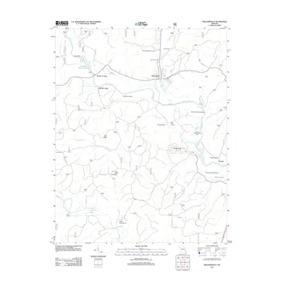
2011 Map of Williamsville
USGS Topo · Published 2011About this map
The Black River winds through this Missouri landscape, anchoring a series of small settlements and family-named hollows. At Williamsville, the river's path is shadowed by the local Williams Creek, while the surrounding terrain is defined by complex valley systems like Bull Run Hollow and Sycamore Spring Hollow. The presence of several small airfields, including the Rolling Shoals Farm Airport and the Skyway Ranch Landing Strip, suggests a rural community deeply connected by private aviation.
Find a feature on this map
51 named features on this map. Tap any name to fly to it.
Don’t see what you’re looking for? This feature index may not catch every label — zoom into the map to look around manually.
Map Details
Editions of this 2011 Williamsville Map
This is the sole edition of this map. No revisions or reprints were ever made.
Other maps of this area

1932 · Piedmont
USGS Topo · 1:62,500

1934 · Greenville
USGS Topo · 1:62,500

1934 · Williamsville
USGS Topo · 1:48,000

1935 · Poplar Bluff
USGS Topo · 1:62,500

1935 · Piedmont
USGS Topo · 1:62,500

1939 · Greenville
USGS Topo · 1:62,500

1939 · Poplar Bluff
USGS Topo · 1:62,500

1940 · Williamsville
USGS Topo · 1:62,500

1949 · Rolla
USGS Topo · 1:250,000

1949 · Poplar Bluff
USGS Topo · 1:62,500