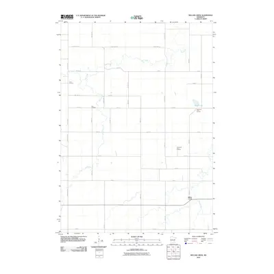
2010 Map of Willow Creek
USGS Topo · Published 2010About this map
Perch Creek winds through this rural section of Blue Earth County, defining the drainage patterns for a landscape largely organized by an orderly grid of township and county roads. The settlement of Willow Creek serves as a local anchor in the southeastern portion of the map, situated near the waterway that shares its name. The region's history is marked by established community burial grounds, including Trinity Cemetery in the west and the North Saint Johns Cemetery and South Saint Johns Cemetery further east. These landmarks, along with Ohio Cemetery, suggest a long-standing pattern of settlement and social organization in this agricultural area. Aside from the small basin of Porter Lake, the map is dominated by the intersecting paths of County Hwy-135, County Hwy-32, and numerous township highways that facilitate movement between farmsteads and local centers.
Find a feature on this map
34 named features on this map. Tap any name to fly to it.
Don’t see what you’re looking for? This feature index may not catch every label — zoom into the map to look around manually.
Map Details
Editions of this 2010 Willow Creek Map
This is the sole edition of this map. No revisions or reprints were ever made.
Other maps of this area

1951 · Mankato West
USGS Topo · 1:62,500

1953 · New Ulm
USGS Topo · 1:250,000

1954 · Fairmont
USGS Topo · 1:250,000

1957 · New Ulm
USGS Topo · 1:250,000

1958 · New Ulm
USGS Topo · 1:250,000

1958 · Fairmont
USGS Topo · 1:250,000

1965 · Madelia
USGS Topo · 1:24,000

1965 · Perth
USGS Topo · 1:24,000

1967 · New Ulm
USGS Topo · 1:250,000

1967 · Truman
USGS Topo · 1:24,000