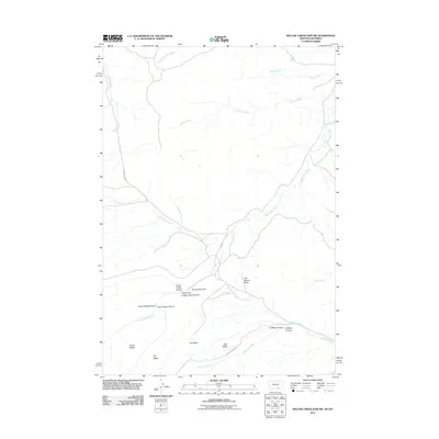
2011 Map of Willow Creek Dam SW
USGS Topo · Published 2011About this map
Lodge Grass Canyon and its complex network of tributaries dominate this northern Wyoming landscape, where the high plains meet deep incisions of the Bighorn basin drainage. The map reveals a dissected terrain where seasonal and perennial waters like Eskimo Creek and Packs the Hat Creek have carved distinct landforms such as The Mesa and Salt Ridge. Historical land use is suggested by the primitive access provided by Soup Creek Rd and Marble Quarry Rd, which navigate the steep elevations near The Beaver Slide. This 2011 survey captures the area's geological character, including North Fork Lodge Grass Canyon and Halfway Canyon, providing a clear picture of the hydrological patterns and named ridges that define this portion of Sheridan County.
Find a feature on this map
21 named features on this map. Tap any name to fly to it.
Don’t see what you’re looking for? This feature index may not catch every label — zoom into the map to look around manually.
Map Details
Editions of this 2011 Willow Creek Dam SW Map
This is the sole edition of this map. No revisions or reprints were ever made.
Other maps of this area

1894 · St. Xavier
USGS Topo · 1:125,000

1898 · Bald Mountain
USGS Topo · 1:125,000

1901 · St. Xavier
USGS Topo · 1:125,000

1901 · Bald Mountain
USGS Topo · 1:125,000

1954 · Hardin
USGS Topo · 1:250,000

1955 · Sheridan
USGS Topo · 1:250,000

1957 · Hardin
USGS Topo · 1:250,000

1958 · Hardin
USGS Topo · 1:250,000

1958 · Sheridan
USGS Topo · 1:250,000

1960 · Boyd Ridge
USGS Topo · 1:24,000