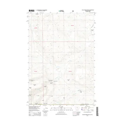
2014 Map of Willow Creek Dam SW
USGS Topo · Published 2014About this map
Lodge Grass Canyon and its northern fork dominate this section of the Bighorn Mountains along the Montana and Wyoming border. The landscape is defined by deep drainages and high divides, including the prominent Horse Ridge and Dry Ridge, where the terrain drops sharply at The Beaver Slide. The U.S. Geological Survey mapping reveals a remote region characterized by significant elevation changes, from the heights of The Mesa and Salt Ridge down to the creek beds of Eskimo Cr and Percheron Cr. Access is limited to a few named thoroughfares like Marble Quarry Rd and Lodge Grass Creek Rd, reflecting the isolated nature of these uplands. Named landmarks such as Christmas Tree Coulee and Halfway Canyon provide specific points of reference for navigating this complex system of ridges and coulees.
Find a feature on this map
29 named features on this map. Tap any name to fly to it.
Don’t see what you’re looking for? This feature index may not catch every label — zoom into the map to look around manually.
Map Details
Editions of this 2014 Willow Creek Dam SW Map
This is the sole edition of this map. No revisions or reprints were ever made.
Other maps of this area

1894 · St. Xavier
USGS Topo · 1:125,000

1898 · Bald Mountain
USGS Topo · 1:125,000

1901 · St. Xavier
USGS Topo · 1:125,000

1901 · Bald Mountain
USGS Topo · 1:125,000

1954 · Hardin
USGS Topo · 1:250,000

1955 · Sheridan
USGS Topo · 1:250,000

1957 · Hardin
USGS Topo · 1:250,000

1958 · Hardin
USGS Topo · 1:250,000

1958 · Sheridan
USGS Topo · 1:250,000

1960 · Boyd Ridge
USGS Topo · 1:24,000