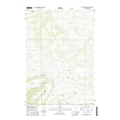
2017 Map of Willow Creek Dam SW
USGS Topo · Published 2017About this map
Lodge Grass Canyon and its northern fork dominate this portion of the Montana-Wyoming border, where high plateaus are bisected by a network of seasonal drainages. The landscape is defined by its dramatic verticality, featuring distinct formations like The Mesa, Dry Ridge, and the sharply named The Beaver Slide. These features reflect a traditional ranching and grazing environment where terrain dictated movement and land use long before modern infrastructure arrived.
Find a feature on this map
34 named features on this map. Tap any name to fly to it.
Don’t see what you’re looking for? This feature index may not catch every label — zoom into the map to look around manually.
Map Details
Editions of this 2017 Willow Creek Dam SW Map
This is the sole edition of this map. No revisions or reprints were ever made.
Other maps of this area

1894 · St. Xavier
USGS Topo · 1:125,000

1898 · Bald Mountain
USGS Topo · 1:125,000

1901 · St. Xavier
USGS Topo · 1:125,000

1901 · Bald Mountain
USGS Topo · 1:125,000

1954 · Hardin
USGS Topo · 1:250,000

1955 · Sheridan
USGS Topo · 1:250,000

1957 · Hardin
USGS Topo · 1:250,000

1958 · Hardin
USGS Topo · 1:250,000

1958 · Sheridan
USGS Topo · 1:250,000

1960 · Boyd Ridge
USGS Topo · 1:24,000