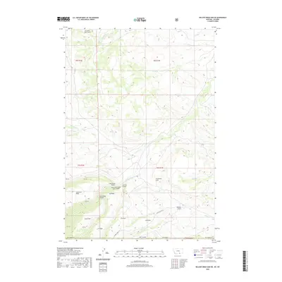
2020 Map of Willow Creek Dam SW
USGS Topo · Published 2020About this map
Lodge Grass Canyon and the North Fork Lodge Grass Canyon carve through this high-altitude landscape on the border of Montana and Wyoming. The terrain is defined by a series of prominent ridges and drainage features, including the aptly named Tepee Pole Ridge, Horse Ridge, and Salt Ridge. These landforms suggest a history of seasonal travel and livestock movement through the canyon systems. Water sources such as Lodge Grass Cr, Eskimo Cr, and Packs the Hat Cr provide essential drainage for the numerous coulees that intersect the high ground. A single named thoroughfare, Marble Quarry Rd, hints at localized industrial or extraction history in the southern portion of the quadrangle. The presence of features like The Mesa and The Beaver Slide further illustrate the distinct geomorphology of the Big Horn County region during this modern era.
Find a feature on this map
34 named features on this map. Tap any name to fly to it.
Don’t see what you’re looking for? This feature index may not catch every label — zoom into the map to look around manually.
Map Details
Editions of this 2020 Willow Creek Dam SW Map
This is the sole edition of this map. No revisions or reprints were ever made.
Other maps of this area

1894 · St. Xavier
USGS Topo · 1:125,000

1898 · Bald Mountain
USGS Topo · 1:125,000

1901 · St. Xavier
USGS Topo · 1:125,000

1901 · Bald Mountain
USGS Topo · 1:125,000

1954 · Hardin
USGS Topo · 1:250,000

1955 · Sheridan
USGS Topo · 1:250,000

1957 · Hardin
USGS Topo · 1:250,000

1958 · Hardin
USGS Topo · 1:250,000

1958 · Sheridan
USGS Topo · 1:250,000

1960 · Boyd Ridge
USGS Topo · 1:24,000