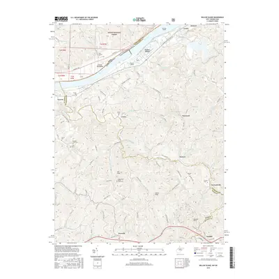
2016 Map of Willow Island
USGS Topo · Published 2016About this map
The Ohio River defines the border between West Virginia and Ohio, flowing past Willow Island and Eureka Island. On the West Virginia side, the topography rises sharply from the riverbanks into the ridges of Pleasants and Wood Counties. Settlement follows the winding creek valleys and high ground, with communities like Belmont, Eureka, and Deerwalk connected by a network of rural routes such as Boreland Springs Rd and Campbell Run Rd. In the northern section, the Wayne National Forest covers the hills above Lower Newport.
Find a feature on this map
82 named features on this map. Tap any name to fly to it.
Don’t see what you’re looking for? This feature index may not catch every label — zoom into the map to look around manually.
Map Details
Editions of this 2016 Willow Island Map
This is the sole edition of this map. No revisions or reprints were ever made.
Other maps of this area

1904 · Marietta
USGS Topo · 1:62,500

1906 · Saint Marys
USGS Topo · 1:62,500

1906 · Elizabeth
USGS Topo · 1:62,500

1907 · Harrisville
USGS Topo · 1:62,500

1924 · St Marys
USGS Topo · 1:62,500

1924 · Harrisville
USGS Topo · 1:62,500

1924 · Marietta
USGS Topo · 1:62,500

1924 · Elizabeth
USGS Topo · 1:62,500

1926 · Elizabeth
USGS Topo · 1:62,500

1926 · Harrisville
USGS Topo · 1:62,500