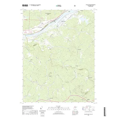
2019 Map of Willow Island
USGS Topo · Published 2019About this map
The Ohio River carves a deep valley through the border of Ohio and West Virginia, framing a landscape defined by steep ridges and narrow runs. On the West Virginia side, small settlements like Belmont and Eureka sit along the riverbanks, while the interior is dotted with scattered hamlets such as Newlandsville and Horseneck. The prevalence of family and community cemeteries, including McMullen Cem and Sinclair Cem, suggests a deeply rooted rural population.
Find a feature on this map
79 named features on this map. Tap any name to fly to it.
Don’t see what you’re looking for? This feature index may not catch every label — zoom into the map to look around manually.
Map Details
Editions of this 2019 Willow Island Map
This is the sole edition of this map. No revisions or reprints were ever made.
Other maps of this area

1904 · Marietta
USGS Topo · 1:62,500

1906 · Saint Marys
USGS Topo · 1:62,500

1906 · Elizabeth
USGS Topo · 1:62,500

1907 · Harrisville
USGS Topo · 1:62,500

1924 · St Marys
USGS Topo · 1:62,500

1924 · Harrisville
USGS Topo · 1:62,500

1924 · Marietta
USGS Topo · 1:62,500

1924 · Elizabeth
USGS Topo · 1:62,500

1926 · Elizabeth
USGS Topo · 1:62,500

1926 · Harrisville
USGS Topo · 1:62,500