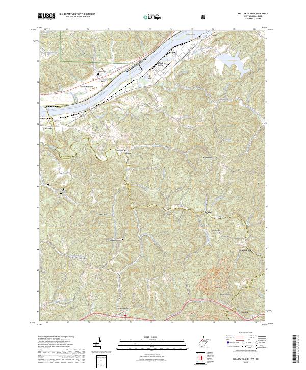
2023 Map of Willow Island
USGS Topo · Published 2023About this map
The Ohio River carves a dominant path through this portion of Pleasants and Wood Counties, separating West Virginia from the wooded slopes of the Wayne National Forest in Ohio. Along the river's northern bank, the settlement of Lower Newport sits across from Willow Island, while Eureka Island sits mid-stream near the community of Eureka. The interior terrain is deeply etched by a network of drainage ways including Bull Creek, Walker Creek, and Cow Creek, creating a series of prominent high points like Pumpkin Knob and Buzzard Rocks.
Find a feature on this map
75 named features on this map. Tap any name to fly to it.
Don’t see what you’re looking for? This feature index may not catch every label — zoom into the map to look around manually.
Map Details
Editions of this 2023 Willow Island Map
This is the sole edition of this map. No revisions or reprints were ever made.
Other maps of this area

1904 · Marietta
USGS Topo · 1:62,500

1906 · Saint Marys
USGS Topo · 1:62,500

1906 · Elizabeth
USGS Topo · 1:62,500

1907 · Harrisville
USGS Topo · 1:62,500

1924 · St Marys
USGS Topo · 1:62,500

1924 · Harrisville
USGS Topo · 1:62,500

1924 · Marietta
USGS Topo · 1:62,500

1924 · Elizabeth
USGS Topo · 1:62,500

1926 · Elizabeth
USGS Topo · 1:62,500

1926 · Harrisville
USGS Topo · 1:62,500