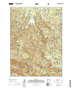
2020 Map of Willow Lake
USGS Topo · Published 2020About this map
Willow Lake and the surrounding Rogue River National Forest dominate this Jackson County landscape, where water resources are managed through a network of creeks and small reservoirs. The presence of Swamp Cr Reservoir and numerous named springs like Whiskey Spring and Jack Spring highlight the critical role of upland water storage for the region. The topography is defined by significant elevations such as Esmond Mtn, Bieberstedt Butte, and Buck Point, which rise above the deep cuts of Wasson Canyon and Miller Gulch.
Find a feature on this map
57 named features on this map. Tap any name to fly to it.
Don’t see what you’re looking for? This feature index may not catch every label — zoom into the map to look around manually.
Map Details
Editions of this 2020 Willow Lake Map
This is the sole edition of this map. No revisions or reprints were ever made.
Other maps of this area

1891 · Ashland
USGS Topo · 1:250,000

1893 · Ashland
USGS Topo · 1:250,000

1897 · Ashland
USGS Topo · 1:250,000

1938 · Medford
USGS Topo · 1:125,000

1954 · Butte Falls
USGS Topo · 1:62,500

1954 · Lakecreek
USGS Topo · 1:62,500

1955 · Rustler Peak
USGS Topo · 1:62,500

1955 · Mt. Mc Loughlin
USGS Topo · 1:62,500

1955 · Medford
USGS Topo · 1:250,000

1957 · Medford
USGS Topo · 1:250,000