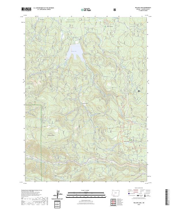
2023 Map of Willow Lake
USGS Topo · Published 2023About this map
The Rogue River National Forest defines this high-elevation landscape in Jackson County, where the storage of Willow Lake sits amidst a complex network of timbered ridges and seasonal watercourses. The terrain is characterized by prominent local landmarks such as Esmond Mtn and Juniper Ridge, with the southern portion of the map opening into the broad, flat expanse of Willow Prairie. This area is a hub for recreational and forest management activities, featuring several named springs like Whiskey Springs and Cougar Spring, alongside an established trail system including the Willow Prairie East Loop Trl. Drainage is primarily northward through systems like Willow Creek and southward via the North Fork Little Butte Creek, illustrating the continental divide-like nature of the forest's interior ridges. Named clearings such as Indian Glade and Parker Meadow suggest a history of localized grazing and forest usage within the larger wilderness context.
Find a feature on this map
50 named features on this map. Tap any name to fly to it.
Don’t see what you’re looking for? This feature index may not catch every label — zoom into the map to look around manually.
Map Details
Editions of this 2023 Willow Lake Map
This is the sole edition of this map. No revisions or reprints were ever made.
Other maps of this area

1891 · Ashland
USGS Topo · 1:250,000

1893 · Ashland
USGS Topo · 1:250,000

1897 · Ashland
USGS Topo · 1:250,000

1938 · Medford
USGS Topo · 1:125,000

1954 · Butte Falls
USGS Topo · 1:62,500

1954 · Lakecreek
USGS Topo · 1:62,500

1955 · Rustler Peak
USGS Topo · 1:62,500

1955 · Mt. Mc Loughlin
USGS Topo · 1:62,500

1955 · Medford
USGS Topo · 1:250,000

1957 · Medford
USGS Topo · 1:250,000