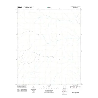
2011 Map of Willow Mountain
USGS Topo · Published 2011About this map
Willow Mountain stands as the primary landmark in this drainage-dominated landscape of Graham County, defining the local topography between the northern and southern watersheds. The area is defined by the branching networks of Middle Prong Creek and Wet Prong Creek, which carve through the high country. Human activity in this arid environment is recorded through various water management points, most notably named stock tanks. These locations, such as Packsaddle Tank, Windy Bob Tank, and Jimmy Land Tank, indicate the ranching history and land use patterns of the region. The map captures the intersection of natural water courses and man-made catchments that support life and industry in this corner of Arizona.
Find a feature on this map
6 named features on this map. Tap any name to fly to it.
Don’t see what you’re looking for? This feature index may not catch every label — zoom into the map to look around manually.
Map Details
Editions of this 2011 Willow Mountain Map
This is the sole edition of this map. No revisions or reprints were ever made.
Other maps of this area

1913 · Morenci
USGS Topo · 1:125,000

1915 · Morenci
USGS Topo · 1:125,000

1922 · Nutrioso
USGS Topo · 1:125,000

1954 · Clifton
USGS Topo · 1:250,000

1957 · Clifton
USGS Topo · 1:250,000

1958 · Clifton
USGS Topo · 1:250,000

1958 · Hannagan Meadow
USGS Topo · 1:62,500

1962 · Clifton
USGS Topo · 1:250,000

1967 · Freezeout Mountain
USGS Topo · 1:24,000

1967 · Robinson Mesa
USGS Topo · 1:24,000