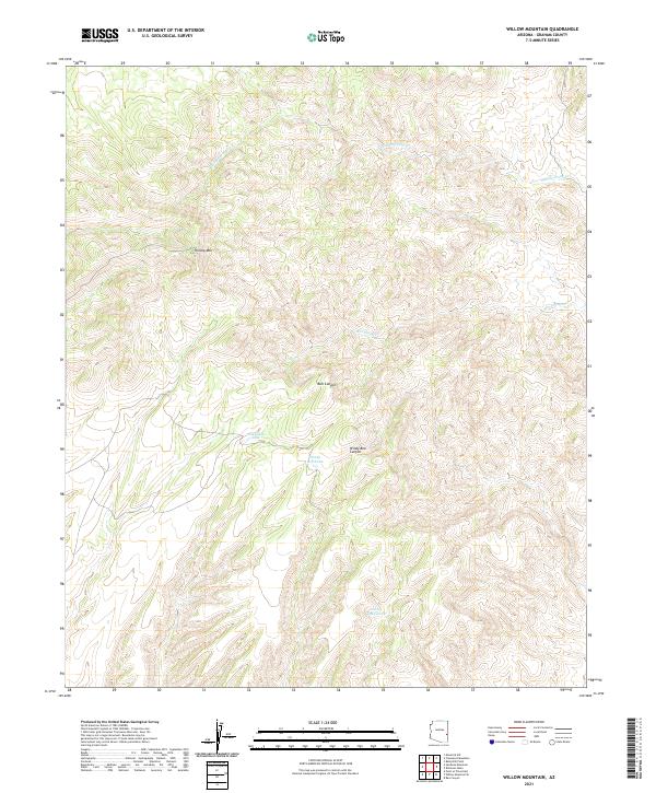
2021 Map of Willow Mountain
USGS Topo · Published 2021About this map
Willow Mtn serves as a dominant high-point in this Graham County landscape, where the terrain is deeply etched by a network of seasonal watercourses and drainage canyons. The map documents an intricate system of water management features essential for ranching or resource use, including the Packsaddle Tank, Windy Bob Tank, and Jimmy Land-Tank. These artificial catchments are situated strategically near major geographic breaks like Bull Canyon and Windy Bob Canyon. The drainage pattern is defined by the Middle Prong Cr and Wet Prong Cr, which suggest the path of intermittent runoff through this complex topographical area. The lack of modern road infrastructure underscores the remote character of this high-elevation Arizona territory.
Find a feature on this map
14 named features on this map. Tap any name to fly to it.
Don’t see what you’re looking for? This feature index may not catch every label — zoom into the map to look around manually.
Map Details
Editions of this 2021 Willow Mountain Map
This is the sole edition of this map. No revisions or reprints were ever made.
Other maps of this area

1913 · Morenci
USGS Topo · 1:125,000

1915 · Morenci
USGS Topo · 1:125,000

1922 · Nutrioso
USGS Topo · 1:125,000

1954 · Clifton
USGS Topo · 1:250,000

1957 · Clifton
USGS Topo · 1:250,000

1958 · Clifton
USGS Topo · 1:250,000

1958 · Hannagan Meadow
USGS Topo · 1:62,500

1962 · Clifton
USGS Topo · 1:250,000

1967 · Freezeout Mountain
USGS Topo · 1:24,000

1967 · Robinson Mesa
USGS Topo · 1:24,000