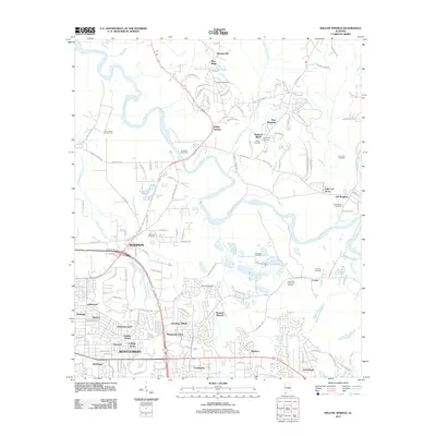
2011 Map of Willow Springs
USGS Topo · Published 2011About this map
The Tallapoosa River snakes through the center of this landscape, separating the developing residential blocks of Montgomery from the more rural outskirts of Willow Springs and Blue Ridge. This map shows a period of suburban expansion into formerly agricultural lands, particularly in areas like Sunshine Village and Eastmont. While the southern portion of the sheet is densely patterned with neighborhood roads, the northern reaches maintain a distinct character with named landmarks like the Riverside Race Track and the Honor Camp Number Four. Local history and genealogy are well-represented by numerous family and community burial grounds, including the Haggerty Cemetery, Young Cemetery, and the Old Bingham Cemetery. Several small enclaves such as Madison and John Lee Acres are visible, while Eastwood Memorial Gardens provides a significant landmark near the settlement of Cooks.
Find a feature on this map
128 named features on this map. Tap any name to fly to it.
Don’t see what you’re looking for? This feature index may not catch every label — zoom into the map to look around manually.
Map Details
Editions of this 2011 Willow Springs Map
This is the sole edition of this map. No revisions or reprints were ever made.
Other maps of this area

1901 · Wetumpka
USGS Topo · 1:125,000

1901 · Wetumpka
USGS Topo · 1:62,500

1903 · Wetumpka
USGS Topo · 1:125,000

1927 · Montgomery
USGS Topo · 1:48,000

1930 · Montgomery
USGS Topo · 1:62,500

1953 · Montgomery
USGS Topo · 1:250,000

1956 · Montgomery
USGS Topo · 1:250,000

1957 · Montgomery
USGS Topo · 1:250,000

1958 · Montgomery
USGS Topo · 1:62,500

1958 · Montgomery North
USGS Topo · 1:24,000