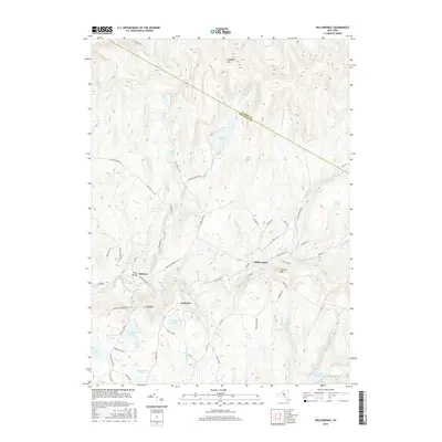
2016 Map of Willowemoc
USGS Topo · Published 2016About this map
Mongaup Pond and the surrounding high elevations of the Catskills dominate this 2016 survey along the Ulster and Sullivan county line. The small settlements of Willowemoc and Debruce anchor the southern portion of the map, connected by a network of rural routes including Willowemoc Rd and Brown Settlement Rd. The landscape is defined by its water resources, from the northern headwaters of the Beaver Kill and Shin Creek to the Neversink Reservoir at the southern margin.
Find a feature on this map
71 named features on this map. Tap any name to fly to it.
Don’t see what you’re looking for? This feature index may not catch every label — zoom into the map to look around manually.
Map Details
Editions of this 2016 Willowemoc Map
This is the sole edition of this map. No revisions or reprints were ever made.
Other maps of this area

1901 · Margaretville
USGS Topo · 1:62,500

1904 · Margaretville
USGS Topo · 1:62,500

1910 · Neversink
USGS Topo · 1:62,500

1921 · Livingston Manor
USGS Topo · 1:62,500

1922 · Andes
USGS Topo · 1:62,500

1923 · Livingston Manor
USGS Topo · 1:62,500

1924 · Andes
USGS Topo · 1:62,500

1942 · Neversink
USGS Topo · 1:62,500

1943 · Monticello
USGS Topo · 1:125,000

1944 · Livingston Manor
USGS Topo · 1:62,500