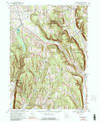
1969 Map of Willseyville
USGS Topo · Published 1989About this map
Danby State Forest dominates this Central New York landscape, which is marked by the steep relief of Durfee Hill and Eastman Hill. In the late 1960s, the region retained its rural character, anchored by small settlements like Danby and Willseyville. Local history is preserved in sites such as the Danby Rural Cem and Lare Cem, while the Lehigh Valley railroad line and an Old Railroad Grade near Caroline trace the path of earlier transportation networks. The topography is defined by narrow creek valleys, including Buttermilk Creek and Willseyville Creek, which carved the drainages between the uplands. Significant community landmarks include the White Church, the Danby Sch, and the Caroline Depot, providing a clear view of the social and transit infrastructure serving these hillside townships.
Find a feature on this map
46 named features on this map. Tap any name to fly to it.
Don’t see what you’re looking for? This feature index may not catch every label — zoom into the map to look around manually.
Map Details
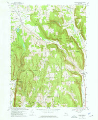
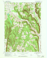
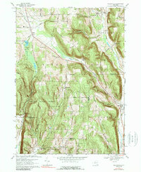
Editions of this 1969 Willseyville Map
4 editions found
Other maps of this area

1893 · Ithaca
USGS Topo · 1:62,500

1895 · Ithaca
USGS Topo · 1:62,500

1900 · Dryden
USGS Topo · 1:62,500

1902 · Waverly
USGS Topo · 1:62,500

1903 · Owego
USGS Topo · 1:62,500

1905 · Watkins Glen
USGS Topo · 1:125,000

1906 · Catatonk
USGS Topo · 1:125,000

1949 · Ithaca West
USGS Topo · 1:24,000

1949 · Ithaca East
USGS Topo · 1:24,000

1949 · Willseyville
USGS Topo · 1:24,000