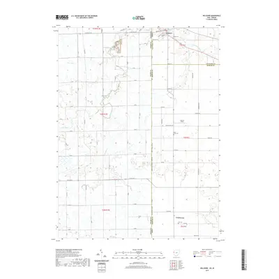
2019 Map of Willshire
USGS Topo · Published 2019About this map
The Saint Marys River winds through the borderlands of Ohio and Indiana, anchoring the small community of Willshire. This agricultural landscape is defined by its rectilinear road grid and drainage networks, including Duer Ditch and Blue Creek, which have supported farming for generations. The map reveals a high density of rural cemeteries that trace the early settlement history of Van Wert and Mercer counties, such as Tricker Cem and Duck Creek Cem. Near the southern edge of the quadrangle, the settlement of Chattanooga serves as a local hub. Transportation is represented by a mix of state routes and township roads, while aviation history is marked by the presence of Hamrick Airport. The topography is relatively level, characteristic of the glacial plains that define this portion of the Midwest, where water management through features like Little Blue Cr remains vital to the local economy.
Find a feature on this map
35 named features on this map. Tap any name to fly to it.
Don’t see what you’re looking for? This feature index may not catch every label — zoom into the map to look around manually.
Map Details
Editions of this 2019 Willshire Map
This is the sole edition of this map. No revisions or reprints were ever made.
Other maps of this area

1911 · Berne
USGS Topo · 1:48,000

1914 · Celina
USGS Topo · 1:62,500

1914 · Van Wert
USGS Topo · 1:62,500

1944 · Van Wert
USGS Topo · 1:62,500

1944 · Celina
USGS Topo · 1:62,500

1953 · Muncie
USGS Topo · 1:250,000

1956 · Muncie
USGS Topo · 1:250,000
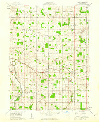
1960 · Erastus
USGS Topo · 1:24,000
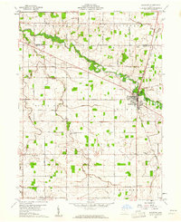
1960 · Rockford
USGS Topo · 1:24,000
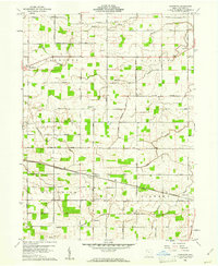
1960 · Glenmore
USGS Topo · 1:24,000