2023 Map of Willshire
USGS Topo · Published 2023About this map
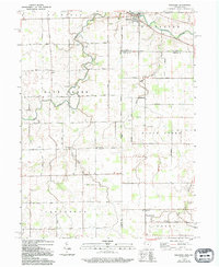
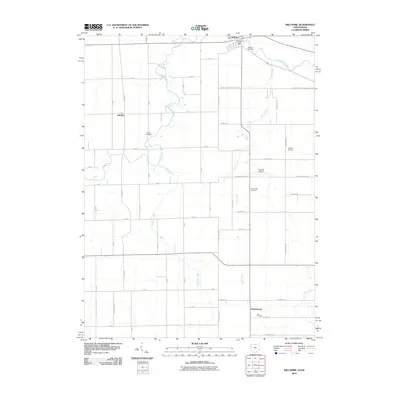
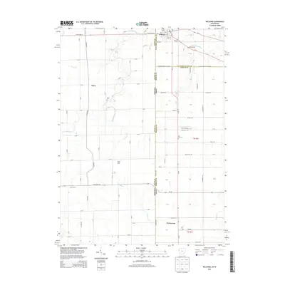
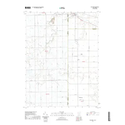
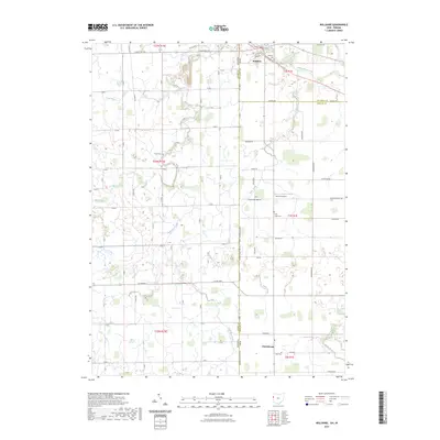
The Saint Marys River winds through the village of Willshire in this detailed survey of the Ohio-Indiana borderlands. This rural landscape is defined by its precise section-line road network and a series of agricultural waterways, including Blue Creek, Duck Creek, and Duer Ditch, which drain the surrounding farm fields. The map reveals the settlement patterns of Van Wert and Mercer Counties, highlighting small community centers like Chattanooga and the infrastructure that supports them.
Find a feature on this map
70 named features on this map. Tap any name to fly to it.
Don’t see what you’re looking for? This feature index may not catch every label — zoom into the map to look around manually.
Map Details
Editions of this 2023 Willshire Map
This is the sole edition of this map. No revisions or reprints were ever made.
Historical Maps of Willshire Through Time
6 maps found