
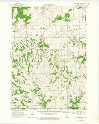
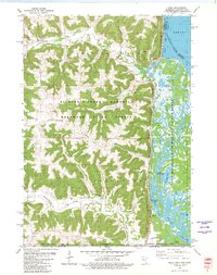
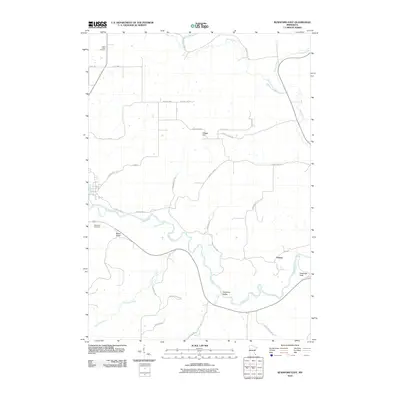
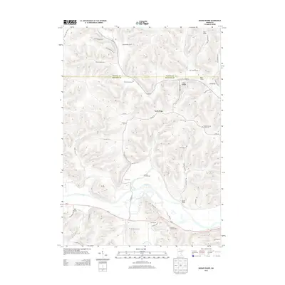
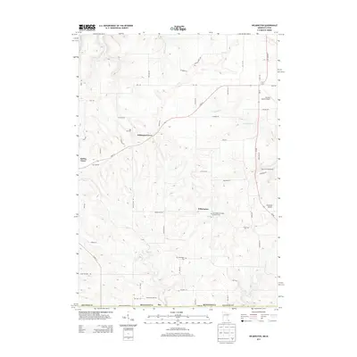
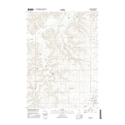
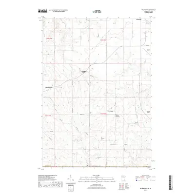
1965 Map of Wilmington
USGS Topo · Published 1989About this map
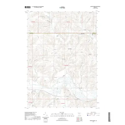
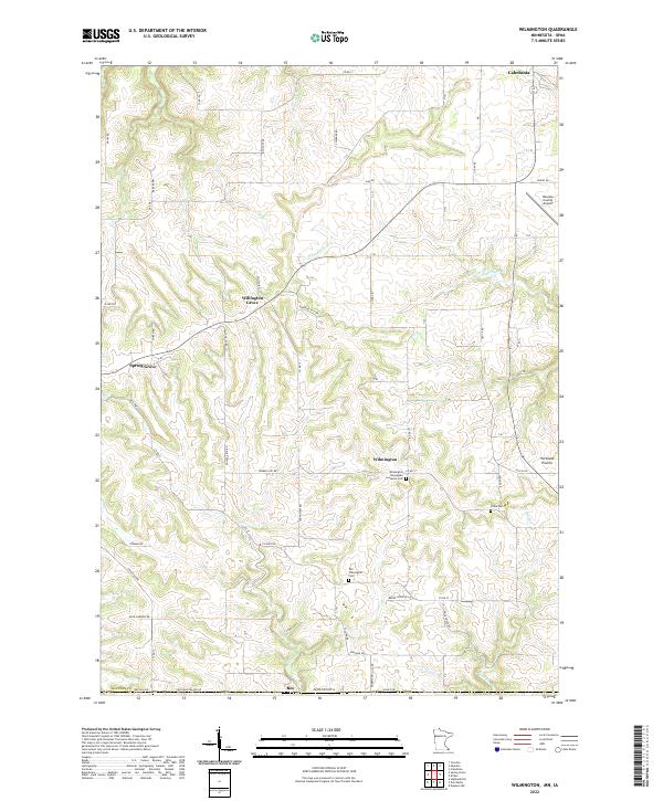
Wilmington sits at a geographic crossroads in the mid-1960s, where the plateaus of Spring Grove and Portland Prairie meet the winding drainage of Bee Creek. This survey captures a rural landscape defined by the Chicago Milwaukee St Paul and Pacific railroad, which cuts a path through the Minnesota Memorial Hardwood State Forest near Willington Grove. The map is particularly useful for genealogists, as it documents the state line between Houston County, Minnesota, and Allamakee County, Iowa. The settlement pattern is rooted in local history, featuring landmarks like the Wilmington Ch and two distinct burial sites: Stone Cem and the Old Wilmington Cem. Multiple quarries scattered across the hills indicate the local importance of stone extraction during this era.
Find a feature on this map
22 named features on this map. Tap any name to fly to it.
Don’t see what you’re looking for? This feature index may not catch every label — zoom into the map to look around manually.
Map Details
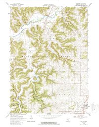
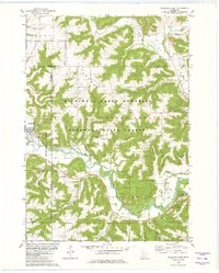
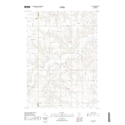
Editions of this 1965 Wilmington Map
2 editions found
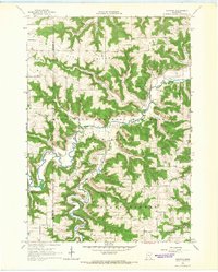
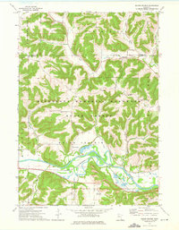
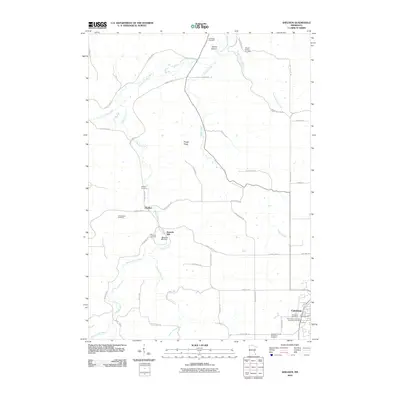
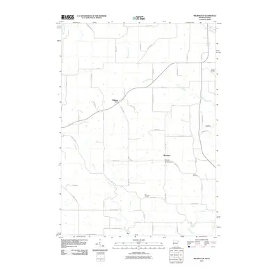
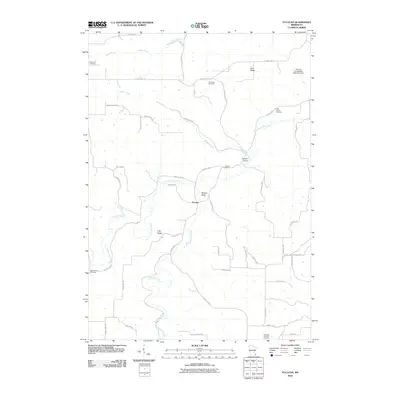
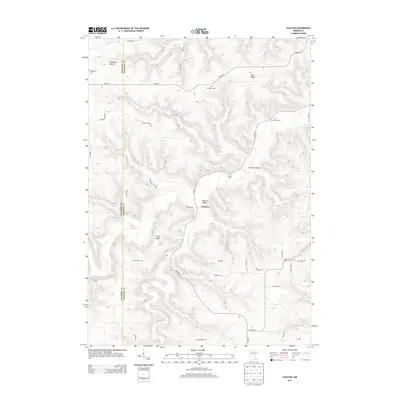
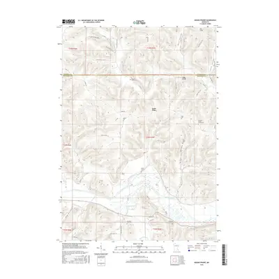
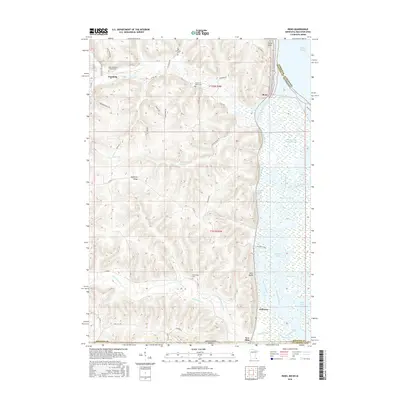
Historical Maps of Caledonia Through Time
36 maps found
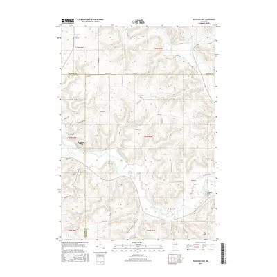
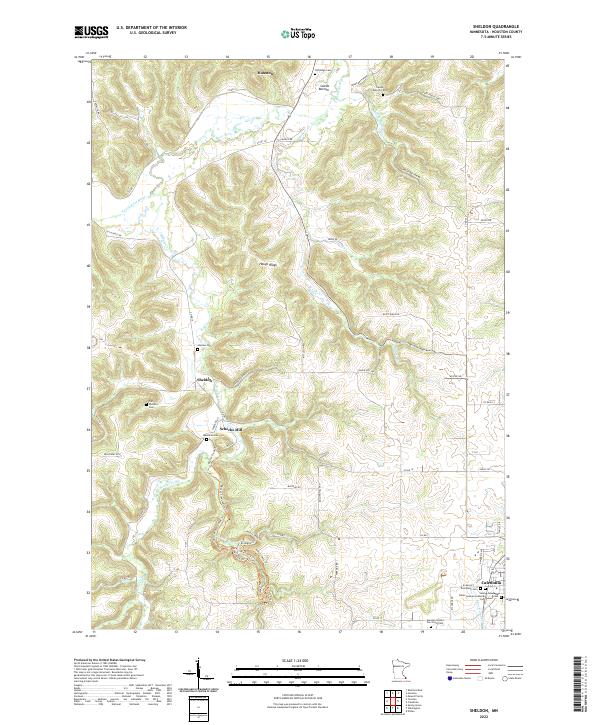
1965 Sheldon
Houston County, MN
1965 Wilmington
Houston County, MN
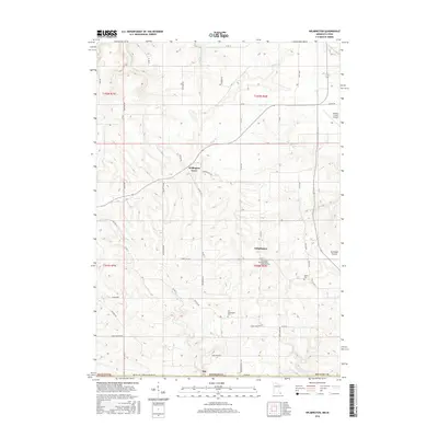
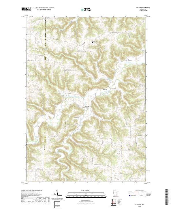
1965 Yucatan
Houston County, MN
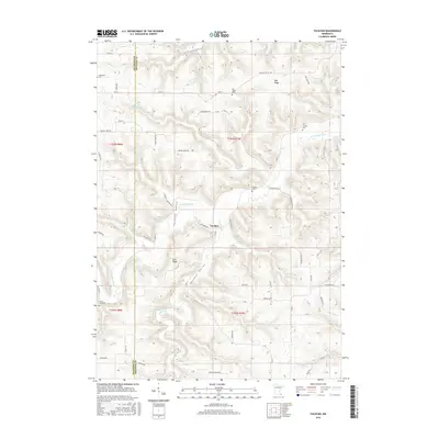
1973 Mound Prairie
Houston County, MN
1980 Reno
Houston County, MN
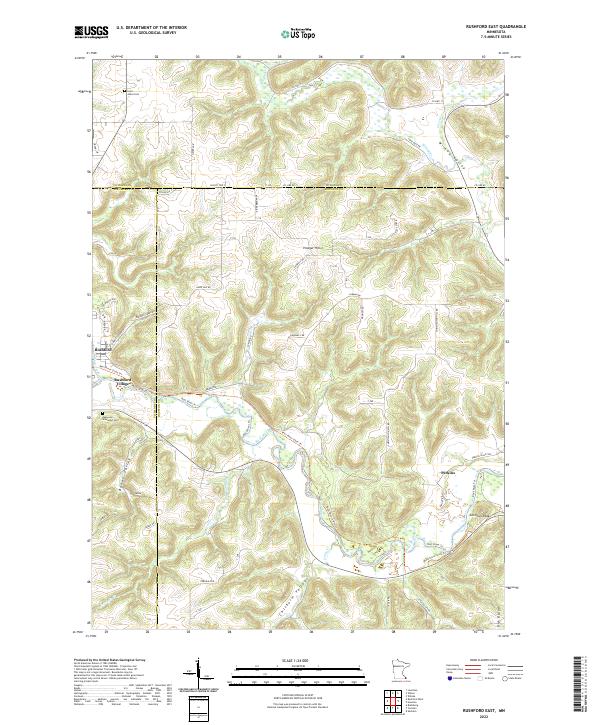
1980 Rushford East
Houston County, MN
2010 Mound Prairie
Houston County, MN
2010 Reno
Houston County, MN
2010 Rushford East
Houston County, MN
2010 Sheldon
Houston County, MN
2010 Wilmington
Houston County, MN
2010 Yucatan
Houston County, MN
2013 Mound Prairie
Houston County, MN
2013 Reno
Houston County, MN
2013 Rushford East
Houston County, MN
2013 Sheldon
Houston County, MN
2013 Wilmington
Houston County, MN
2013 Yucatan
Houston County, MN
2016 Mound Prairie
Houston County, MN
2016 Reno
Houston County, MN
2016 Rushford East
Houston County, MN
2016 Sheldon
Houston County, MN
2016 Wilmington
Houston County, MN
2016 Yucatan
Houston County, MN
2019 Mound Prairie
Houston County, MN
2019 Reno
Houston County, MN
2019 Rushford East
Houston County, MN
2019 Sheldon
Houston County, MN
2019 Wilmington
Houston County, MN
2019 Yucatan
Houston County, MN
2022 Mound Prairie
Houston County, MN
2022 Reno
Houston County, MN
2022 Rushford East
Houston County, MN
2022 Sheldon
Houston County, MN
2022 Wilmington
Houston County, MN
2022 Yucatan
Houston County, MN